Spring begins

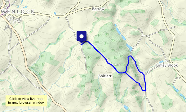
1st of March: the Met. Office says it’s spring, and I’m reluctant to argue. On our walk along Shirlett Lane on this sunny morning, there are few real signs of the season, but there’s a spring-like feel to the air. A veil of high cloud will block the sunshine later, and the next few days look like being rather miserable, but it’s a start…

View OS map on Streetmap http://www.streetmap.co.uk/map.srf?X=365660&Y=298545&A=Y&Z=120

Winter’s end in Bridgnorth

Or is it? It’s cold today, and though the sun’s bright and warming when it shines, there’s a flurry of snowflakes as we’re preparing to go out. In Bridgnorth, up near the bypass, the trees are white with early blossom encouraging the season along. In the valley, the waters are high – the Severn is up on the fields and high under the bridge, not far below the tops of the arches – though the worst is past, apparently.

View OS map on Streetmap http://www.streetmap.co.uk/map?X=371482&Y=292675&A=Y&Z=115

A week tomorrow

…it will be the first day of spring. Given the weather we’ve been ‘enjoying’ recently (three named storms in a week) it can’t some soon enough! We’re wandering the Willey lanes this afternoon for the same reason as last Wednesday – it’s sheltered from the wind and good underfoot. Where we leave the car, at the top of Scots Lane, it’s blowing half a gale, but in minutes we’re into a calmer land, and despite the storms, it’s remarkable how the early signs of spring are advancing. There’s lots more green on the hawthorn, some early primroses in Bould Lane, and dog’s mercury taking over the verges elsewhere. A week tomorrow…

View OS map on Streetmap http://www.streetmap.co.uk/map?X=367662&Y=298184&A=Y&Z=120

Windy weather

Rainy too! They’re putting up the flood defences in Ironbridge – the road’s closed, and pedestrians have to use New Road (we were going to go that way anyway) We’ve been to the top of Coalbrookdale – up via Jockey Bank and Orchard Lane, and over the top (windy here!) by the old White Horse, then down behind Coalbrookdale church. We’ll return by the Coach Road, then back beside the river. The rain has kept off, the sun has shone, and we’ve been out of the wind – mostly. A pleasant little outing – just as well, it’s going to rain again tomorrow.

View OS map on Streetmap http://www.streetmap.co.uk/map?X=367410&Y=304075&A=Y&Z=120

Gogbatch and the Mynd

A misty, murky walk on the Long Mynd, starting from its northernmost valley, Gogbatch. We’re setting out a bit later than originally intended, to give the morning’s rain a chance to clear, and while it stays dry for the rest of the day, the views are hazy at best, with no sunshine. By the time we’ve eaten our lunch, the afternoon is wearing on, so rather than the highest point at Pole Bank, we’ll turn back at the Shooting Box, looping around to avoid too much retracing of steps. It may not be at its best on a day like this, but it’s still very pleasant to be out on these hills.

View OS map on Streetmap http://www.streetmap.co.uk/map?X=344720&Y=296185&A=Y&Z=120