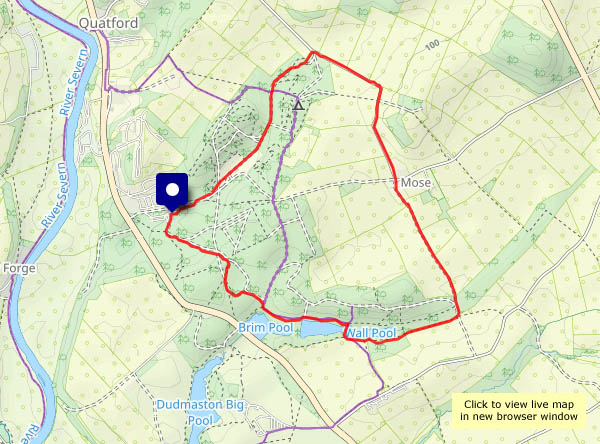
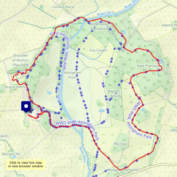
Back on terra cotta…

… as a gaelic-speaking local of Skye once said to us, describing her feelings on being back on dry land after some lengthy sea trips (we know what she meant). After our week on Skye, we’ve come down to earth (the 500-odd mile drive contributing to that experience) and to celebrate we’re wandering around some very familiar local lanes. It’s good to be back…

View OS map on Streetmap http://www.streetmap.co.uk/map?X=367515&Y=298310&A=Y&Z=120

Flying things

Comer and Mose – a walk through the woods and along the very quiet lane past the farm. There are butterflies, there’s a small dragonfly (a common darter, I believe) and, at the other end of the scale, a family of swans in Wall Pool. The NT car park is busy, but beyond a 15 minutes radius from the car, there’s no-one else around.

View OS map on Streetmap http://www.streetmap.co.uk/map?X=375070&Y=289900&A=Y&Z=120

Lasp gasp…

… of summer? It’s certainly warm today, in the mid-2os, though it probably won’t last. Sunny too – it would be a crime to stay indoors. Away from the car park, there’s hardly anyone else about, and I don’t think the path from Posenhall to Arlescott has been walked much recently – it’s almost blocked by scratchy brambles and stinging nettles (I can still feel them in my left hand). The blackberries beyond that short stretch make it all worthwhile – several brief stops for refreshment…

View OS map on Streetmap http://www.streetmap.co.uk/map?X=365360&Y=301865&A=Y&Z=120

Early autumn around Cound

The first two days were rather wet; today, the 3rd of September, is a better day. Grey in the morning but sunny intervals from around 2pm, the forecast suggested, and it was pretty accurate. Blackberries abound, but they’re rather soggy after the rain – however, there’s a reliable wild apple tree that will help to kick-start the jam-making season.

View OS map on Streetmap http://www.streetmap.co.uk/map?X=355695&Y=304040&A=Y&Z=120

Westhope woodlands

…on Wenlock Edge. From the car park at the top of the Ticklerton – Westhope road, it’s a pleasant walk down that road to the hamlet of Westhope. The Hope Dale road then ascends very gently to the col below Callow Hill’s tower. A short lane then leads to the Edge, for a very pleasant walk through deciduous woodland, almost dead straight back to the start.

View OS map on Streetmap http://www.streetmap.co.uk/map?X=346770&Y=286545&A=Y&Z=120