It’s a fine sunny day too. Not that there are many signs of the changing season. No daffodils for St David’s day. No new green on the hawthorn either, but there’s dog’s mercury beside the old railway track (it’s not very photogenic). Leaving the railway, we walk up through Chestnut Coppice, where the bluebell leaves are emerging. There’s much evidence of December’s storm Darragh – many fallen trees. At least the path has been cleared.


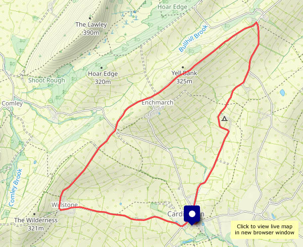
View OS map on Streetmap http://www.streetmap.co.uk/map?X=371930&Y=296550&A=Y&Z=120


")