
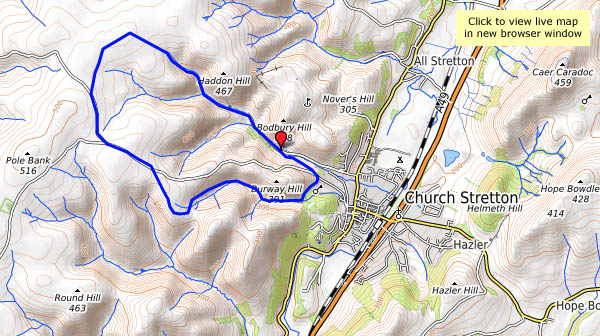
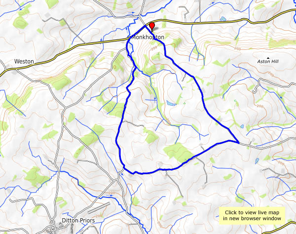
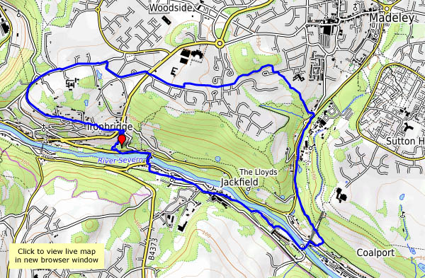
A short walk on a bright afternoon – the morning’s mist is clearing, and the sun is coming through in fits and starts. At times it’s like a searchlight, then it’s altogether softer, casting pastel shades in the distant views. These winter days can be so much more colourful than high summer!


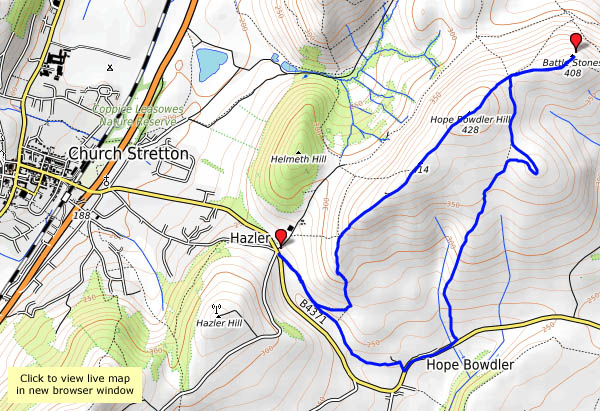
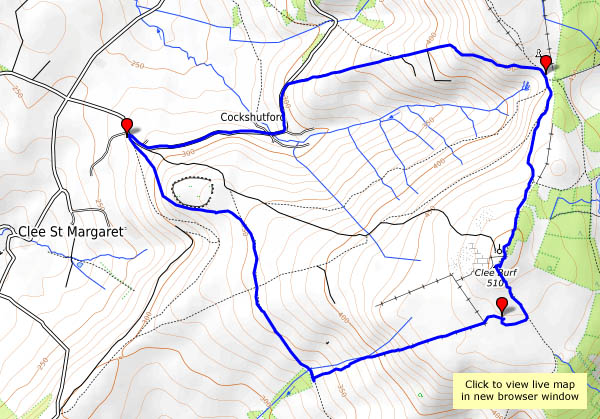
View OS map on Streetmap http://www.streetmap.co.uk/map.srf?X=347745&Y=293476&A=Y&Z=120


")


