Battles in vain…

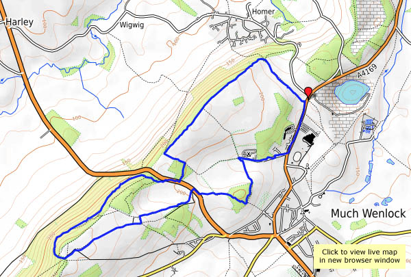
There’s plenty of colour on the Wenlock Edge now, much of it from the far end of the spectrum – blue, indigo and violet*, in other words. There are plenty of bluebells, and violets here and there – and the early purple orchids are out. There are yellows and whites too, and of course there’s green everywhere. It must be spring!

*Richard of York gained battles in vain = the rainbow… Does everyone know that?

Mid-May in Bannister’s Coppice

We’re following what has become a favourite route – from Much Wenlock, down through Homer to Bannister’s Coppice, and back along the old waggonway route. There may be some deer about, and perhaps some early purple orchids? Down beside the brook, there was a group of perhaps a dozen deer, well-camouflaged amongst the trees, and only visible when they moved (away, of course). There were a few more in the field when we left the coppice – they didn’t hang around either.

View OS map on Streetmap http://www.streetmap.co.uk/map.srf?X=362200&Y=302111&A=Y&Z=120

Brown Clee in May

…via the Burwarton estate road and Boyne Water. On a day like this, it’s against the law to stay in, apparently. Everywhere will be busy; Brown Clee might be quieter than places with ice cream vans and tea rooms? It probably was, though there were lots of cars parked where usually there might be one or two others. We didn’t see many of their occupants – perhaps ten in total. It’s quiet here – just the odd lark (ascending), hardly a breach of the peace. It’s warm too (jackets and jumpers not required – at last!), with a pleasant light breeze, and though the sky is clear the air isn’t – this is not a day for extensive views. Nevertheless, it’s a great place to be on such an afternoon.

View OS map on Streetmap http://www.streetmap.co.uk/map.srf?X=360215&Y=285696&A=Y&Z=120

45212: the Great Britain XI

No, not a football team – it’s the eleventh year this round Britain tour has run. Today the train passed through Shropshire (eventually – it was nearly two and a half hours late, as a result of signalling problems further north), heading for Cardiff via the Central Wales line. As I write this, the train is still moving (I hope) after further delays – it’s due to arrive at about 9.45pm. There are (two) more photos and video on “Geoff’s Rail Diaries” – visit “GBXI: 45212” – now!

April on the Edge

Friday 20th April: It’s too good for indoor chores. Lots of other people had the same idea – the little NT car park was full – though we only saw three others as we walked these quiet fields and woods. Little more than a week ago, it seemed spring would never come, but there’s no doubt now.

View OS map on Streetmap http://www.streetmap.co.uk/map.srf?X=361345&Y=300046&A=Y&Z=120

Spring at last

After lunch, the clouds cleared (as forecast) and instead of rain, warm sunshine fell on Shropshire’s sodden fields. We’d better make the most of it, it may not last… The no 18 bus to Much Wenlock gets us started, on a route which we’ve chosen in the hope of avoiding the worst of the mud (by avoiding field paths, a policy that nearly caught us out on the very quiet road near Wyke). Leaving Benthall Edge (last gasp of the Wenlock Edge) we find ourselves at Benthall Hall, where it’s warm enough to sit outside, in shirt sleeves, for tea and cakes… Suitably refuelled, it’s not far home now.

Benthall Hall NT

View OS map on Streetmap http://www.streetmap.co.uk/map.srf?X=365085&Y=301511&A=Y&Z=120

Corbet Wood and Clive

There’s a low sandstone ridge north of Shrewsbury, with attractive woodlands and interesting paved and bedrock tracks. The stone here has been quarried for many years – signs warn walkers to “beware of old quarries”… We’ll follow the lower-level paths from the car park at Corbet Wood, past Grinshill to Clive, then return via the highest point, which is a fine rocky viewpoint for the hills to the south, but hardly what one would call a summit (192m, or about 630ft above sea level). It’s a pleasant walk on an afternoon when, despite the grey skies, there’s spring in the air.

View OS map on Streetmap http://www.streetmap.co.uk/map.srf?X=352040&Y=323791&A=Y&Z=120

Bog, Black Ditch and Black Rhadley

There’s barely a cloud in the blue sky – it’s a day that’s too good to waste. We’re off to The Bog, for a walk along the southern ridge of the Stiperstones to Black Rhadley, and when we get back, the Bog Centre is open for tea and cakes. What more could one ask? That was intended to be a rhetorical question, but I’ll answer it anyway: “peace and quiet” – and yes, we had that too. Despite the weather being unusually good, we saw hardly anyone else on our walk, the shooters at the range were quieter than normal and even the dogs in the kennels failed to disturb the calm (there must have been others about – the cakes had nearly all gone!).

Bog Visitor Centre

View OS map on Streetmap http://www.streetmap.co.uk/map.srf?X=335045&Y=296846&A=Y&Z=120