A cold afternoon at the end of the year. The forecast thought (wrongly) that the sun might appear; it’s quite wooded along the south side of the valley – would this walk be a waste of good sunshine? No, we made the right decision. Another grey afternoon, though there’s some colour here and there – cheeky robins, interesting tiles at Craven Dunnill’s, some fascinating fungi and lichen… Sunshine? Tomorrow perhaps…


")


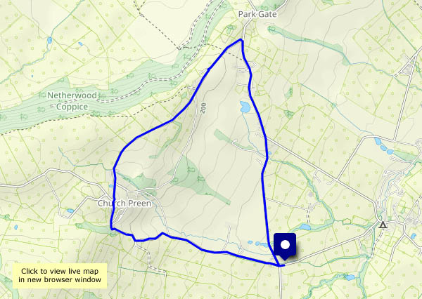
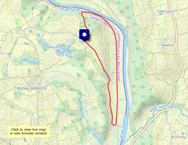
View OS map on Streetmap http://www.streetmap.co.uk/map?X=368810&Y=302716&A=Y&Z=120


")


")
...")


")
 days")


")