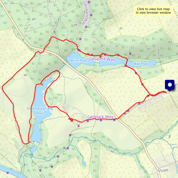
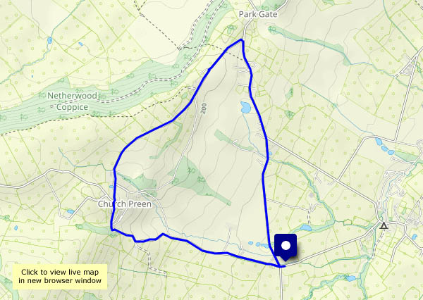
Flying things

Comer and Mose – a walk through the woods and along the very quiet lane past the farm. There are butterflies, there’s a small dragonfly (a common darter, I believe) and, at the other end of the scale, a family of swans in Wall Pool. The NT car park is busy, but beyond a 15 minutes radius from the car, there’s no-one else around.

View OS map on Streetmap http://www.streetmap.co.uk/map?X=375070&Y=289900&A=Y&Z=120

Hobbits and men: Stourport

The Prancing Pony at Bree had separate facilities for the differently-sized peoples of Middle Earth. Stourport basin is a bit like that. It connects the narrowboat canals of the West Midlands with the Severn and, well above the river, also provides facilities for medium-sized riverboats (which cannot, of course, travel any further up the waterway along the canals). Between the river and the basin are two sets of locks – full-width barge locks for the riverboats, and hobbit-sized for the narrowboats. It’s a fascinating place.

Cheek-by-jowl with the canal-age calm of the basin, overlooked by the elegant Georgian buildings of Stourport, is a brash, noisy, colourful funfair (it’s probably much noisier at the weekend), and the high street shops, particularly those nearer the river, appear to cater for its visitors – especially the hungier ones. The contrast between the shopfronts and the floors above is almost as great as that between the basin and the funfair. I’ll say it again – it’s a fascinating place!

View OS map on Streetmap http://www.streetmap.co.uk/map?X=380903&Y=271058&A=Y&Z=115

Lasp gasp…

… of summer? It’s certainly warm today, in the mid-2os, though it probably won’t last. Sunny too – it would be a crime to stay indoors. Away from the car park, there’s hardly anyone else about, and I don’t think the path from Posenhall to Arlescott has been walked much recently – it’s almost blocked by scratchy brambles and stinging nettles (I can still feel them in my left hand). The blackberries beyond that short stretch make it all worthwhile – several brief stops for refreshment…

View OS map on Streetmap http://www.streetmap.co.uk/map?X=365360&Y=301865&A=Y&Z=120

Early autumn around Cound

The first two days were rather wet; today, the 3rd of September, is a better day. Grey in the morning but sunny intervals from around 2pm, the forecast suggested, and it was pretty accurate. Blackberries abound, but they’re rather soggy after the rain – however, there’s a reliable wild apple tree that will help to kick-start the jam-making season.

View OS map on Streetmap http://www.streetmap.co.uk/map?X=355695&Y=304040&A=Y&Z=120

Westhope woodlands

…on Wenlock Edge. From the car park at the top of the Ticklerton – Westhope road, it’s a pleasant walk down that road to the hamlet of Westhope. The Hope Dale road then ascends very gently to the col below Callow Hill’s tower. A short lane then leads to the Edge, for a very pleasant walk through deciduous woodland, almost dead straight back to the start.

View OS map on Streetmap http://www.streetmap.co.uk/map?X=346770&Y=286545&A=Y&Z=120

A Wenlock morning

It should be dry this morning – it could be wet this afternoon… A short wander on the Wenlock Edge, immediately to the west of Wenlock, should provide some interest. The changed colour of the world, over the last week or so, is very noticeable. Few flowers, autumnal shades – berries and fruits, and leaves starting to turn

View OS map on Streetmap http://www.streetmap.co.uk/map?X=361750&Y=299815&A=Y&Z=120