I know – there are still four weeks to go. But the Christmas lights are being switched on this evening – Saturday 24 November. We’d better get our coats on…
There’s a procession of unlikely vehicles (and even more unlikely drivers and passengers), then, after a (mercifully) few words, the lights are on, and with them, the fireworks.
Once that’s done, we’ll take one or two more photos, but we won’t hang around. There seems to be an unofficial “who’s got the biggest speakers” competition, and our ears are already hurting. But it was fun, and good to see such a big turnout at this very local event.
Category: Photography
Just photos – no particular theme
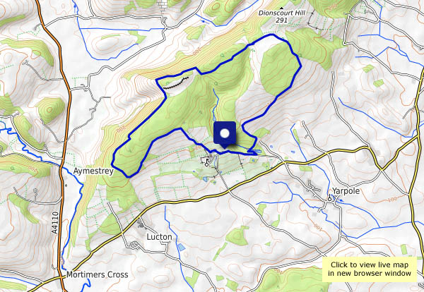
Croft and Bircher
Herefordshire hill country, up towards the Shropshire border (and not far from Wales either)… Days like this are rare in November, so we’re off again, to walk a route we followed a couple of years ago, at the opposite end of the year. Then, we walked through abundant May blossom and bluebells; today there are toadstools and larch needles, and warm autumn shades against a cold blue sky.
View OS map on Streetmap http://www.streetmap.co.uk/map.srf?X=345000&Y=266346&A=Y&Z=120
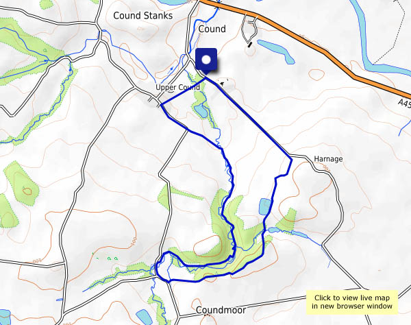
By Coundmoor Brook
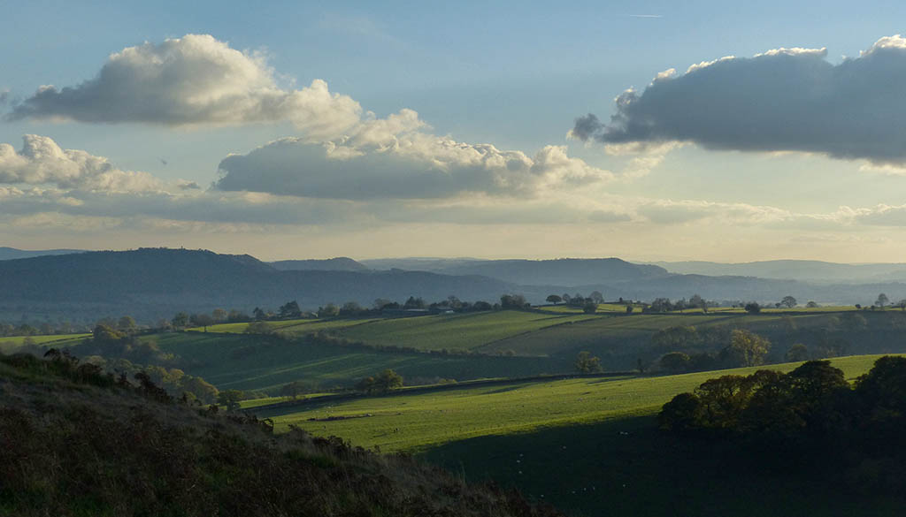
It’s hardly a major watercourse, nevertheless it has carved itself a very attractive shallow but steep-sided valley, ideal for an amble on this bright but hazy afternoon. Heading back, our path overlooks the valley, with more extensive views the other way. Am I alone in thinking the Wrekin resembles Mount Fuji from up here?
View OS map on Streetmap http://www.streetmap.co.uk/map.srf?X=355905&Y=304091&A=Y&Z=120
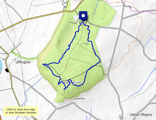
Haughmond Hill in November
It’s another dry, bright afternoon – once again, too good for indoor duties. We’re off to Haughmond Hill, near Shrewsbury – the woodlands should be pleasantly late-autumnal, and the views to the south Shropshire hills will be good, though it’s not particularly clear today.
View OS map on Streetmap http://www.streetmap.co.uk/map.srf?X=354385&Y=313946&A=Y&Z=120
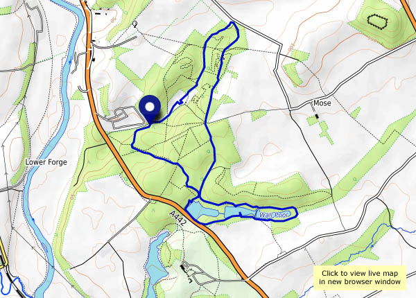
Comer Wood
New routes around the Dudmaston Estate’s woodland have recently been created by the National Trust, adding to some pleasant waterside walks. It’s a grey afternoon – perfect for a walk amidst the autumnal colours.
View OS map on Streetmap http://www.streetmap.co.uk/map.srf?X=374855&Y=289516&A=Y&Z=120
No cakes at Coalport
Friday 2 November: it’s still half-term for the local schools, but the rules say the cafe closes at the end of October… At least the benches and tables haven’t been taken away, so we can sit for a few minutes and enjoy a small amount of chocolate, sufficient for the long pull back up the hill. The sunshine is very pleasant, but the day’s changing as we approach home.
Clee Hill and the Three-forked Pole
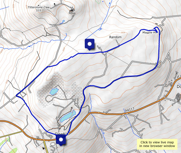
Sounds like something from the Wild West, doesn’t it? This is England’s “Wild West”, not far from the Welsh border, and it’s quite a strange kind of place. The quarry on Clee Hill is still active, but there are many remains of old workings and their associated buildings and structures. There are more strange and tottering structures at Magpie Hill – we make our way there via the remarkable three-forked pole, near a place called “Random”.
When we started out, it seemed like a perfect day for an outing, but the weather grew increasingly gloomy as we walked back from Magpie Hill. The first drops of rain fell as we unlocked the car – how’s that for timing?
Cleehill or Clee Hill? One’s the village, the other? Guess!
View OS map on Streetmap http://www.streetmap.co.uk/map.srf?X=360205&Y=276346&A=Y&Z=120
To Willstone Hill
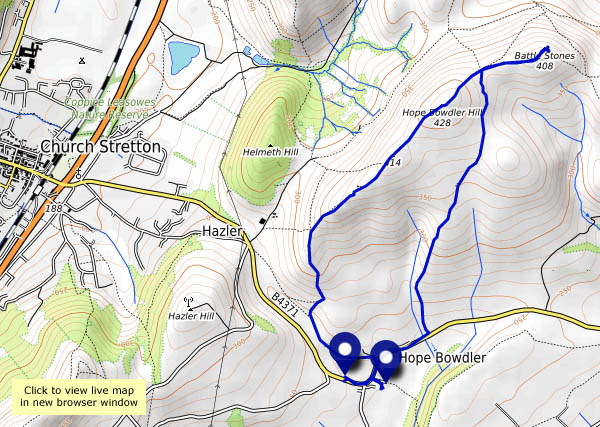
(Monday 29 October) That’s where the Battle Stones are – a perfect objective for a short walk on the hills, on a bright but bitterly cold afternoon. It’s a regular route for us, though we’re having to use a different departure point – this is half-term week, and there’s no space below the Gaer Stone. So we’re starting from Hope Bowdler village, walking a short way along the road, past the end of the inviting-looking footpath to the church, tucked away behind the houses. We’d better accept the invitation.
Curiosity assuaged (what an interesting spot!) we’re off up the lane onto the hill. It’s a more-or-less circular walk, with an out-and-back to the Battle Stones. Once we’re away from the road, it’s quiet – almost totally silent in places. And the views – wonderful! It’s not especially clear, but the light (unlike the air!) is warm, and there are autumnal shades everywhere in the landscape. It’s a shame to have to return to the car, but the light is fading – it’ll be dark soon.
View OS map on Streetmap http://www.streetmap.co.uk/map.srf?X=348105&Y=293496&A=Y&Z=120