
An evening stroll, where the air’s cool under the trees. Other than a bull serenading a cow in the field at the other side of the lane, it’s very quiet up here – no-one else about. It’s Saturday – perhaps they’re out enjoying themselves. Just like us…


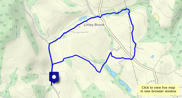
View OS map on Streetmap http://www.streetmap.co.uk/map.srf?X=367107&Y=297480&A=Y&Z=115


")

")


")


")


")
