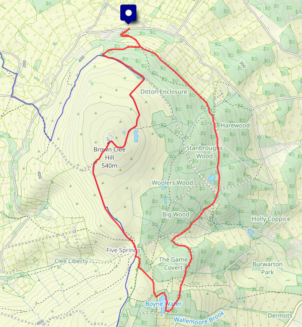
I was here in November last year, when the mud on the main descent was truly horrendous. Hadn’t been back since… This afternoon, Mrs Geoffspages is out eating cakes with her friends. I’ll make the most of it with a walk on Brown Clee – and it’s a wonderful day! It’s cool and shady under the trees on the way out, down the eastern side of the hill. When I cross the crest of the ridge, I’m in pleasantly warm sunshine, with a gentle breeze. There’s no-one in the chocolate seat either (I only passed 10 other people in 3 hours). It’s too warm for chocolate though; instead an apple is just right. And the mud? Practically all gone. Last November, it was hard to imagine it could ever be dry again.


")


")


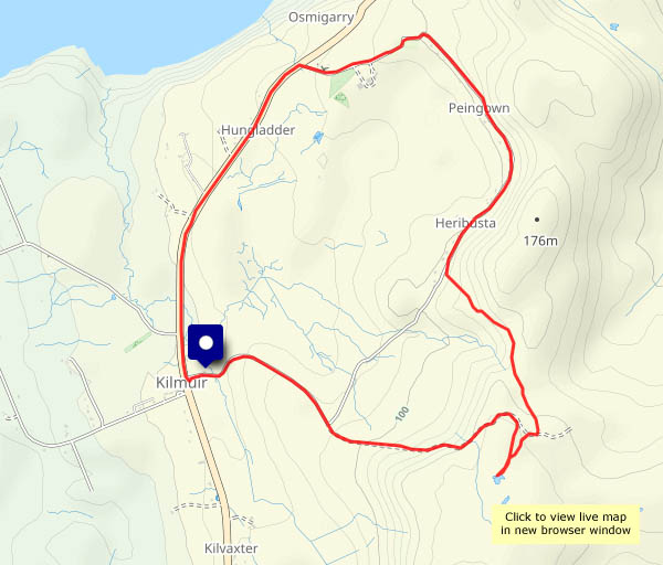
View OS map on Streetmap http://www.streetmap.co.uk/map?X=359675&Y=286170&A=Y&Z=120


")


")

 thistle")


")