Who could forget Leander?

45690 Leander at BattlefieldFriday’s steam special left Shrewsbury, heading for Crewe and ultimately Dumfries, soon after 4pm. It was moving along nicely at Battlefield (site of the battle of Shrewsbury more than 600 years ago) a few minutes later. Pictures taken, we headed for home – I was due out again later in the evening. No time for blogs. Almost forgot…

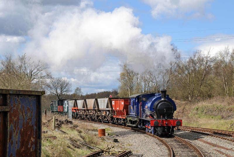
It’s a popular spot, hence the letterbox crop to lose parked cars and photographers along the bottom. There were some fairly obtrusive power cables and a pylon too, but they’ve gone (crop and Photoshop), and the Shropshire hills would have provided a backdrop, had the air been clearer.

Walking back…

…from Much Wenlock to Broseley, after a ride on the no.18 bus. The spring lambs are out and about, but there’s not much gambolling going on – it’s too cold, despite the warm (but intermittent) sunshine. It’s not very quiet either, especially between Wenlock and Benthall Hall. We passed more people than in our last half-dozen walks – mostly teenage schoolchildren on some kind of organised outing – and a dog near Wyke was noisily expressing its displeasure at being kept in a cage. I think I would too.

View OS map in Streetmap http://www.streetmap.co.uk/map.srf?X=364895&Y=301456&A=Y&Z=120

Wall to wall

That’s what the forecast said about the sunshine – we had to go… Stiperstones in April – warm sunshine, cool air and a pleasant breeze, perfect conditions for a walk on this rocky ridge. We started at the Bog car park – so that we could end at the Bog Centre (tea and cakes again). If we walked to Snailbeach, along the hill-edge paths, we could come back up through the Hollies and follow the ridge. The now-obligatory red kite wheeled over the far hillside, and a little later, a rarer bird, so to speak: a red grouse stalked carefully along just yards from the path. We’ll sometimes hear them up here, gurgling comically and telling us to go back, but this one remained silent. Minutes earlier, we’d noted how quiet it was. He must have heard us…

The Bog Visitor Centre

View OS map on Streetmap http://www.streetmap.co.uk/map.srf?X=337095&Y=299856&A=Y&Z=120

Forest paths

We’re in the Wyre Forest this afternoon. It’s very pleasant wandering through this woodland, often fairly open, with deciduous areas and grassy clearings. It’s not always pleasant underfoot – several of the streams resemble paths (or maybe vice versa), and there’s an unexpected ford where culverts are blocked (the new boots perform admirably). There’s plenty of water in the Dowles Brook too, though it’s rather muddy. The heron is watching intently – he’ll need patience as well if he hopes to see anything edible.

View OS map in Streetmap http://www.streetmap.co.uk/map.srf?X=374430&Y=277401&A=Y&Z=120

Holly Bank and Colin

Holly Bank No3 at Chasewater Heaths
Colin emerges from his shed, stretching and yawning

It’s the IRS AGM – this year, it’s at Chasewater, and we have some entertainment lined up to keep us amused before the meeting, provided by Hunslet Holly Bank No.3 (AKA Darfield No.1) and tiny Barclay Colin McAndrew. There’s a brake van special and a freight train to photograph and ride on, and a certain amount of shunting. Sometimes the sun was kind to us. More will appear on “Geoff’s Rail Diaries” in a day or so, in the meantime, here’s the usual taster
Industrial Railway Society
Chasewater Railway

Priors Holt to Black Knoll

The day changed: it was bright and sunny when we left Priors Holt (or “Witchend” to Malcolm Saville “Lone Pine” afficionadoes), but the forecast was right. It was windy too – we’d planned a different route from Black Knoll, but the wind was strong and bitter on the exposed south-eastern flank of the Mynd – much more so than on the ridge path – so we retraced our steps to the forest. A red kite wheeling nearby was never close enough for the camera, and the three deer in the woods, just yards away, were gone in seconds. No photos of them either…

View OS map on Streetmap http://www.streetmap.co.uk/map.srf?X=340535&Y=289336&A=Y&Z=120