Back to the hills!

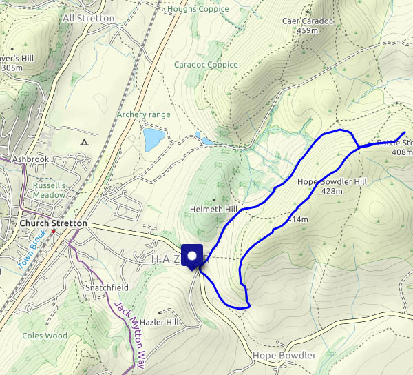
A dry day – bright, plenty of sunshine, just a light breeze. It’s been a long time since we were up in the hills. There hasn’t been quite so much rain in the last few days, and if we stick to the forest tracks where possible… We’re back on Brown Clee, and it’s wonderful up here. Yes, there are one or two muddy places, but we can get around them. Yes, it could be clearer – but the views, especially to the west, are truly arcadian. What an enjoyable afternoon!

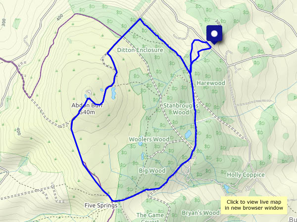
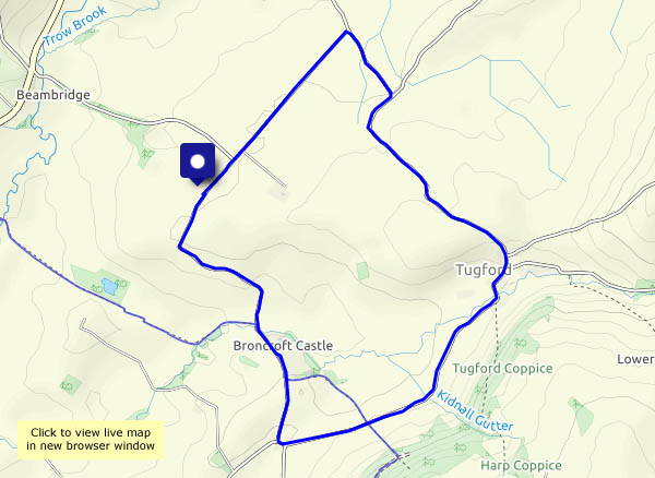
View OS map on Streetmap https://www.streetmap.co.uk/map.srf?X=359735&Y=286465&A=Y&Z=120

Church Preen and Hughley

As well as being St David’s day, yesterday was the first day of (meteorological) spring. To mark the occasion(s), the spring flowers are starting to appear, and the sun’s starting to feel warm on our backs. It’s still pretty cold, though on a bright and breezy day like this we’ve got to be out. We’re walking around the lanes (avoiding the mud!) via Church Preen and Hughley, whose church steeple (that’s a steeple? Its clock has stopped in protest) was celebrated by Housman. Our starting point’s not far from the school, and as we close our circle, the lanes are suddenly full of huge four-wheel drive vehicles – some of whose drivers can barely see over the steering wheel. The mums are on the school run!

View OS map on Streetmap https://www.streetmap.co.uk/map.srf?X=355185&Y=298405&A=Y&Z=120

St Davids Day in Comer Woods

It’s a bright and breezy afternoon, but there could be a shower, and it’s cold in the wind. How about Comer Woods? The car park’s busy, but the woodland is fairly extensive, and we soon lose most of the other visitors. Showers? We needn’t have worried – just the few spots as we were arriving in the car.

Comer Woods NT

View OS map on Streetmap https://www.streetmap.co.uk/map.srf?X=374707&Y=289987&A=Y&Z=120

High water

“We ought to go down and look at the river”. Last time the Severn was this high was almost 20 years ago, in Autumn 2000. These floods have set new records locally, though happily the temporary flood barriers along the Wharfage in Ironbridge seem to have been sufficient. There was a fear that the water might rise over the top, and at some stage (during the night?) the weight of water seems to have pushed them back across the road. Further downstream, the water’s on the road near Bedlam (only seen that once before) and poor Jackfield looks a bit sad. Now the waters are receding, very slowly – hope that’s the last of it for now…

The Gaer Stone and the Battle Stones

After lunch in Church Stretton, there’s time for a short wander on the Hope Bowdler hills, visiting the remarkable outcrop of the Gaer Stone, then walking to the other end of the ridge at the Battle Stones. It’s windy and it’s cold, but when the sun shines the light is lovely. We head back toward the car in the lee of the wind, and the sun’s gone behind some thicker clouds. Time for home.

View OS map on Streetmap https://www.streetmap.co.uk/map.srf?X=348155&Y=293671&A=Y&Z=120

Doing the pools…

Walking from Telford town centre (the bus station, to be precise) to Ironbridge (where I’ll catch a bus home again), taking advantage of a bright and pleasant day. There are several possible routes, and this one, more by accident than design, takes me past numerous small lakes and pools on the way to Coalbrookdale. From the dale, I’ll walk beside the river to Ironbridge.

View OS map on Streetmap https://www.streetmap.co.uk/map.srf?X=368880&Y=306706&A=Y&Z=120