
Cloudy today, the forecast says, with perhaps some light rain in the afternoon. At 10am, the sun’s shining – let’s get out there. Shirlett Lane, Ned’s Lane, Round Hill – familiar ground, but subtly different every time. Perhaps we’ll see the belties?


")


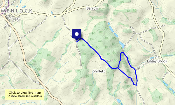
View OS map on Streetmap http://www.streetmap.co.uk/map.srf?X=366240&Y=297950&A=Y&Z=120

Great photos, can you tell me where Ned’s lane is? Is it the bridleway from Shirlett to the pool at Willey? If so, how do you know it’s called Ned’s lane?
That’s the one, through the woods. Apparently Ned lived in a long-gone cottage about half-way up (or down). One of his descendants (a well-known local family) told us they called it Ned’s Lane after him. Not aware of any other name, so we’ve called it that ever since…
That’s interesting. We call that lane The Watery Lane because there’s a little stream which has now been channeled down the side of the path. It used to be very wet.
Local friends refer to it as Sandy Bank but I can’t think why. The cottage has become almost invisible in the last 30/40 years. Friends who have since died remember driving up there as did the people who lived in our house, Round Hill. I love your photos.