Stiperstones revisited

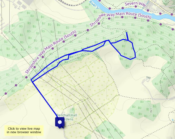
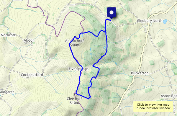
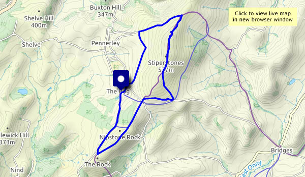
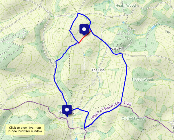
Thursday 29 July: Haven’t been here for a while. It’s a good day for this wild open country – some sunshine, some clouds, a cool breeze. We’ll need to find a sheltered spot for our picnic lunch, behind the rocks on the ridge, in amongst the bilberries (blaeberries, wimberries, whatever…). They’re ripe: several get eaten…

It’s surprisingly busy along the main rocky ridge. Some of the visitors are not really there – or perhaps, since they carefully avoid looking at us or acknowledging our presence, we’re not really there. Just smile and say ‘Hello’ – that’s all we need!

I think they’ve all come up the easy way, from the east-side car park – beyond that, it’s quiet again – just the red kites (four), the ducks (dozens of them, sitting on the road), and the alpacas and llamas (of course!). It’s an interesting part of the world!

View OS map on Streetmap http://www.streetmap.co.uk/map?X=336305&Y=298020&A=Y&Z=120

Hazy Hopesay

We walked this way, more-or-less, six years ago (see Hopesay Hill and Wart hill) on a beautiful spring day. I’ve just checked the photos – it’s hard to believe it was the same place. Today it’s hazy, the views very limited and the lighting flat. At least it’s dry, and we’re not melting, as we would if we’d come this way just three or four days ago. Hopesay is a very quiet part of the Shropshire hills, in the midst of some very attractive hill country but not well known. We saw more red kites (out of camera range – sorry) than walkers. It deserves to be better-known, but I’m glad it isn’t…

Navigational note: we’re walking clockwise from the start in Hopesay village; the red line on the map above shows our intended route, past Grist House. We actually followed the longer route to its north-west, at first along a very well-made farm track that isn’t shown on any of the maps. Not on the OS 1:50,000 or 1:25,000, nor the Google or Bing aerial views. We never even noticed the correct route – we just followed a track we’d expected to find…

View OS map on Streetmap http://www.streetmap.co.uk/map?X=339530&Y=284195&A=Y&Z=120

In the shade

A short walk in Benthall Edge woods, high above what remains of Ironbridge power station, following an out-and-back route to maximise the shade. Some careful choices of paths through the jungle help to avoid too much retracing of steps. It’s an enjoyable (and necessarily gentle) stroll on a hot afternoon, surprisingly pleasant under the trees.

View OS map on Streetmap http://www.streetmap.co.uk/map?X=365895&Y=302990&A=Y&Z=115

A perfect picnic place

It’s a fine, bright, breezy day – plenty of sunshine (not as much as expected) and dry. Let’s make the most of it – we’ll head for Brown Clee, with a quickly-gathered lunch, and hope that no-one’s in the picnic seat… We needn’t have worried – we saw two other people just after we left the car, and long after our lunch with a view, two girls enjoying the sunshine on the bank of Boyne Water. It’s quiet up here! Must be the lack of tea rooms and other entertainments…

View OS map on Streetmap http://www.streetmap.co.uk/map?X=359620&Y=285670&A=Y&Z=120

Four bridges…

…cross the Severn along a two-mile stretch in the gorge – the Iron Bridge, the (new) ‘free’ bridge, the Coalport memorial footbridge and the Coalport bridge. We’re walking from the car park at Bedlam, upstream to Ironbridge, over the river and down the old Severn Valley railway track to Coalport. Crossing the river again, we walk past the old china works to the memorial footbridge, then back through Jackfield (the door’s open at St Mary’s church – we’ll take a look inside) and over the free bridge back to the car. Apart from a short stretch between Craven Dunnill’s and the level crossing, we can avoid retracing our steps. It’s a pleasant shady walk for a warm afternoon.

View OS map on Streetmap http://www.streetmap.co.uk/map?X=368700&Y=302565&A=Y&Z=120