Shirlett and the dragonfly

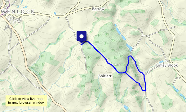
The weather’s good – cool, perhaps, definitely a hint of autumn. But it’s bank holiday Monday – the crowds will be out. Can we avoid them?* We walked this way just a few days ago, but there’s always something interesting to see. Today, it’s a dragonfly, perched in the bushes at the foot of Round Hill – and he’s prepared to pose for the camera, for as long as it takes.
* Yes, we did!

View OS map on Streetmap http://www.streetmap.co.uk/map.srf?X=366240&Y=297950&A=Y&Z=120

Westhope and Wenlock Edge

Woodland wandering… A five-mile circuit at the south-western end of the Edge, from the car park at Harton Hollow, down the lane to Westhope, onwards along Hope Dale until we’re below the tower of Flounders’ Folly, then up the farm lane (away from the folly) to the woodland of the westernmost edge. The tiny car park is busy, but apart from some particularly loud-voiced walkers just behind us (we decided to let them go ahead…), it’s very peaceful in Hope Dale. It’s not quite so quiet through the woodlands – there’s the rumble of traffic on the unseen A49 below,  less than a mile away at first. By the time we’re at the northern end of this most-enjoyable stretch, it’s quiet again.

View OS map on Streetmap http://www.streetmap.co.uk/map.srf?X=346815&Y=286575&A=Y&Z=120

The straight lane and Kenley

Most of our minor roads are narrow and twisty, but there are one or two, below the Wenlock Edge, that have some dead-straight stretches. We’re using one of these to make a circular walk, to include a farm track taking us up to Kenley. Towards the top, there’s a solitary sunflower lying beside the track – however did it get there? More mysteries to follow – small heaps of potatoes, carrots, sugar beet, maize cobs and bean pods beside the road. Why?

View OS map on Streetmap http://www.streetmap.co.uk/map.srf?X=357355&Y=300575&A=Y&Z=120

Puddles

Following a rainy afternoon, the evening could be clearer. It’s very dull, and there are puddles in profusion. One big example stretches across the track – we were thinking of turning back just beyond anyway, so that will have to do for today. Despite the optimistic forecast, the rain starts again as we near home. Tomorrow’s not looking good either, and then it’s the bank holiday weekend. I don’t think we’ll be going far from home for a day or two…

Following Francis

We didn’t go out yesterday – storm Francis brought frequent blustery showers and high winds, putting a walk out of the question. Now the wind has dropped and it’s a fine late summer afternoon. We’ll walk along Shirlett Lane, down Ned’s Lane and back up past Round Hill – and hope the way isn’t blocked by fallen trees…

It transpired that Ned’s Lane had been blocked by a huge oak, but whether that was Ellen or Francis’s doing, I’m not sure. The tractor tyreprints suggested it had been cleared very recently – well done to whoever it was!

View OS map on Streetmap http://www.streetmap.co.uk/map.srf?X=366240&Y=297950&A=Y&Z=120

Aldenham again

It’s not a long walk, about three and a half miles, but it’s pleasantly varied. There are two red kites circling as we set out – we won’t see them again today. Elsewhere the season moves on. Although the farmer hasn’t cut his wheat and barley yet, the blackberries are plentiful (some are already past their best), and there are some splendid conkers in the woods by Shore Pool. September is approaching!

View OS map on Streetmap http://www.streetmap.co.uk/map.srf?X=366905&Y=295705&A=Y&Z=120

Church Preen

A walk around a triangle of quiet lanes, up to Church Preen and back. We’ll take a look at the 13th century church (St John the Baptist) – and its remarkable yew tree. It claims to be more than 1,500 years old (it looks it!), and the oldest tree in Europe (perhaps not…). There are butterflies in the buddleia, just over the churchyard wall, and some quite astonishing fungus near the lychgate.

View OS map on Streetmap http://www.streetmap.co.uk/map.srf?X=354900&Y=298525&A=Y&Z=120

Chestnut Coppice via the SVR

A fairly short stroll today, and once again we’re dodging the showers. From the parking spot near Chestnut Coppice we’re walking down the road until we can cut across to the old Severn Valley railway trackbed. The former railway brings us to the foot of Chestnut Coppice, for a very pleasant and gentle ascent through the woods and back to the car.

View OS map on Streetmap http://www.streetmap.co.uk/map.srf?X=371955&Y=296510&A=Y&Z=120


Breezy

Perfect weather for a walk; less-than perfect for photography. Everything is moving about in the wind, and the curly cirrus clouds foretell more high winds tomorrow. At last (we’ve been watching them closely) there are wild hop flowers in the hedge. Rub them between the fingers and sniff – mmmm! Back home, we’re slightly more sheltered – there are butterflies posing in the buddleia.