
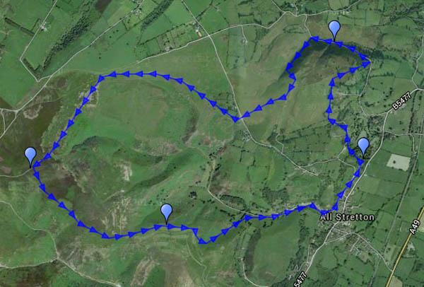
Last gasp of the Long Mynd, before it fades into the fields and pastures of the plain to the north, is Gogbatch. It’s a pleasant – and quiet – spot for a picnic, despite having a (very minor) road running its entire (very short) length. It’s a good spot to begin a walk, too, on this comfortably warm August afternoon. There’s just enough breeze to maintain the comfort as we ascend gradually past Jinlye and Jonathan’s Rock to the main plateau. Our return route skirts the golf course, before descending through deep bracken into the Batch Valley. There’s an inviting but evidently little-used path from All Stretton back towards the slopes of the Mynd. The Himalayan balsam is invading, but brambles and more deep bracken nearly force us to retrace our steps (note to self – bring secateurs next time. And a billhook? And a flame-thrower? Perhaps not).


View OS map on Streetmap http://www.streetmap.co.uk/map.srf?X=345305&Y=296096&A=Y&Z=120
