
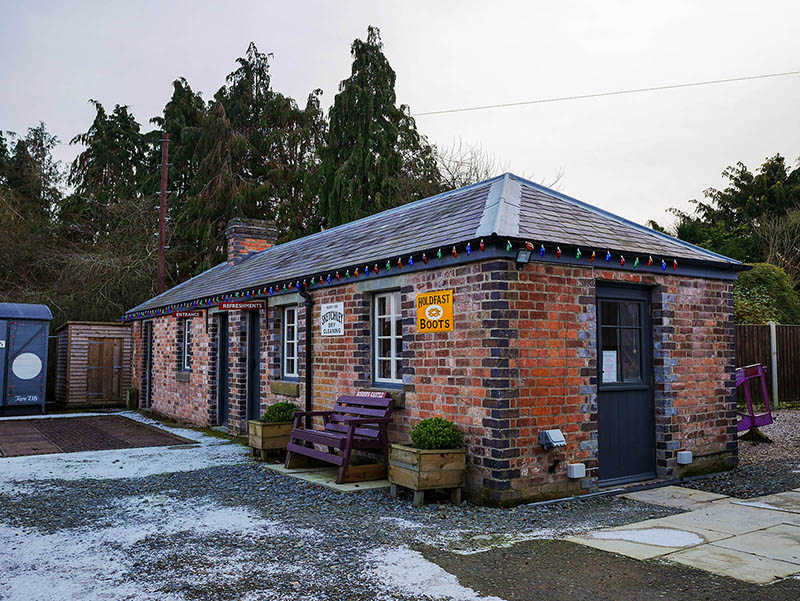
 A visit to the museum of the Bishop’s Castle Railway Society.
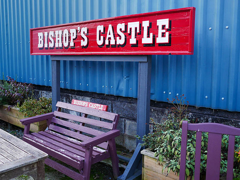 The Bishop’s Castle Railway was a failure. The line that opened (unofficially) in 1865 and (officially) in 1866 was only half of the originally planned through route. By the end of 1866 it was in the hands of the receivers, who tried unsuccessfully to sell it while continuing to run services. Remarkably, they did so until 1935, by which time it was utterly decrepit. Within two years the line had been lifted and its rolling stock had all gone for scrap metal.
Today, much of the trackbed remains, as do a couple of the stations, but at Bishop’s Castle all that exists is the weighbridge building. Only a few years ago it was derelict and in danger of being lost forever, but it has been lovingly restored and is now the  home of the BCRS museum, a collection of small exhibits and – star attraction – one of the nameplates of the BCR’s locomotive Carlisle. The building also serves as a café (home-made cakes!), while in the yard is the body of a former BR banana van, full of very reasonably priced second-hand railway books.












 geoffspages.blog