Down to Coalport

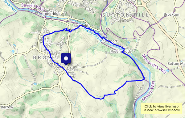
It’s a regular destination for a good leg-stretch. Today we’ll walk up into Broseley and Broseley Wood, down ‘the slip’ and through Jackfield, then over the footbridge to the Coalport canal bank, where the sun is shining brightly. In better times (and in season) there would be tea and cake at the YHA café; today we’ll make do with the chocolate we brought with us (it’s what camera bags are for). We’ll need the energy to get back up the hill from the old railway line – and by then, the light is fading.

View OS map on Streetmap http://www.streetmap.co.uk/map.srf?X=368985&Y=301665&A=Y&Z=120

One misty moisty morning…

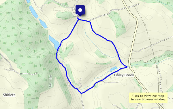
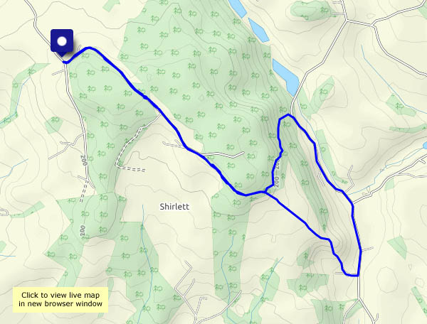
… we stayed at home. It’s not much less misty in the afternoon, but we need a leg-stretch – didn’t get out yesterday (far too moisty!). It’s grey along Shirlett Lane (it feels grey!) but there’s lots of colour in the woods, most of it on the warm side of the spectrum. There are still some colourful autumn leaves, but very few of them are on the trees. They’re mostly lining the road and the paths (hiding the deep muddy holes!). It feels brighter down by the Smithies – is the sun going to come out? No – it’s just as misty and moisty on Shirlett Lane as it was earlier, and though it’s only 3.40 pm, it’s beginning to get dark when we arrive back at the car.

View OS map on Streetmap http://www.streetmap.co.uk/map.srf?X=366345&Y=297885&A=Y&Z=120

Around the estate

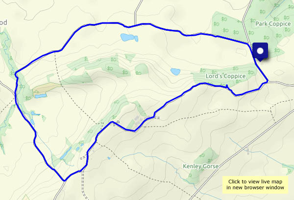
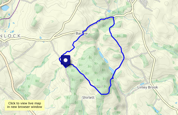
Not ours!  The only way we can enjoy the little bit of Shropshire within this circuit is by peering from the fences, through the trees, or over the parapet of the bridge which crosses the estate road. Nevertheless, ‘around the estate’ is a pleasantly varied walk, and it feels very different on this cold, almost wintry afternoon – last time it was a pleasantly warm September day.

View OS map on Streetmap http://www.streetmap.co.uk/map.srf?X=366255&Y=299045&A=Y&Z=120

…and back to Benthall

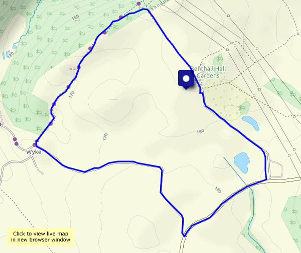
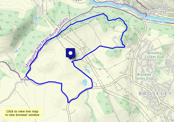
Yesterday we walked to Benthall Hall and back. Today, we’re leaving the car at Benthall Hall, and walking out to Wyke, then following woodland paths along Benthall Edge. We’ll pause for a (chocolate) moment or two at the viewpoint, then conclude the walk by heading through Workhouse Coppice to the track (which we walked yesterday) taking us back to the hall. There’s a nip in the air today – a hint of wintry days to come.

View OS map on Streetmap http://www.streetmap.co.uk/map.srf?X=365775&Y=302515&A=Y&Z=120

Stanley Lane and Chestnut Coppice

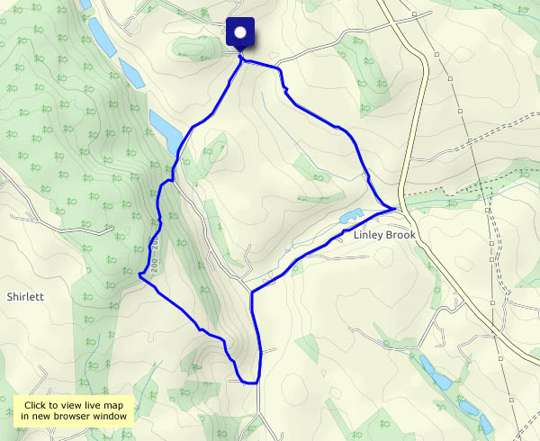
It’s windy, and the forecast says there could be a shower or two. As we approach our parking spot, there’s a rainbow, but that’s the last rain we’re aware of. This part of Stanley Lane is very quiet – as is the old railway track. Coming back up through the woodland of Chestnut Coppice, the autumn leaves are striking. Admittedly most of them are on the ground now…

View OS map on Streetmap http://www.streetmap.co.uk/map.srf?X=371805&Y=296520&A=Y&Z=120

Church Preen at Hallowe’en…

… doesn’t look any different from Church Preen on any other day at this time of year. I suppose there was a house with a witch in the porch, but I wasn’t sure it was wise to point the camera in her direction. It’s just very pleasant to be out in the sunshine, on a day that looked like being wet.

View OS map on Streetmap http://www.streetmap.co.uk/map.srf?X=354860&Y=298485&A=Y&Z=120

Harley and Cressage

A farm track, quiet roads and a short woodland path make this a pleasant stroll through attractive country. There are great views to the Wrekin on the outward leg, but (how churlish can one get?) the sun is directly behind us, so the lighting for those views is rather flat. Heading back up Wood Lane, our route from Cressage, the sun is in our eyes – we can hardly see anything at all! Further up the lane, the light is filtering through the autumn leaves, and the short stretch though Butler’s Plantation is delightful. Finally, we turn back towards Harley – there’s the Wrekin again.

View OS map on Streetmap http://www.streetmap.co.uk/map.srf?X=359600&Y=302740&A=Y&Z=120