I’m not sure ‘flakes’ is the best description. The tiny soft balls of snow blow around on the road, rolling off us as we set out just in time to catch one of the afternoon’s several showers. Once again an icy wind is blowing from the east, but between the showers, the air is clear and the sunshine is bright, and when we’re up amongst the trees the day feels more comfortable. The necessarily brisk walk has warmed us up. To the south the Clee hills have a covering of snow; above them the sky is dramatic. Soon we’re at the chocolate stop, then retracing our steps and revisiting the views. As we leave the woodland, the snow starts again. We didn’t think we would get a walk today – in the event our outing was enjoyable – exhilarating!

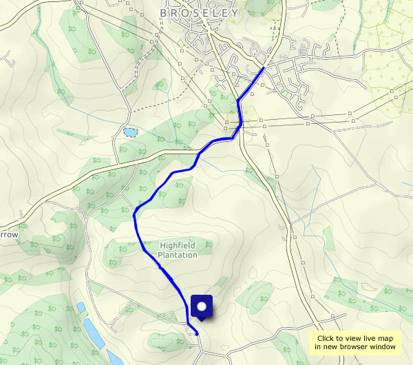
View OS map on Streetmap http://www.streetmap.co.uk/map.srf?X=365660&Y=298545&A=Y&Z=120


")