Exploring some of the well-known – and less well-known – corners of the Severnside town.
View OS map on Streetmap http://www.streetmap.co.uk/map?X=371662&Y=293230&A=Y&Z=115
Short walks with photos and a Google map.
Exploring some of the well-known – and less well-known – corners of the Severnside town.
View OS map on Streetmap http://www.streetmap.co.uk/map?X=371662&Y=293230&A=Y&Z=115
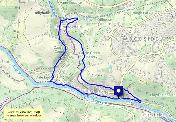
Summer’s gone and the schools are back – it’s quiet along the Wharfage in Ironbridge, and the view upriver has changed since the last time we walked this way. Coalbrookdale is quiet too – the ironworks is closed, so is the museum (on Mondays and Tuesdays). No danger of getting run over as we shelter under the railway arch, its entrance, during a brief shower of rain.
View OS map on Streetmap http://www.streetmap.co.uk/map?X=367215&Y=304270&A=Y&Z=120
Quiet wandering through fields and woods, beside the Severn and along the old railway line, where there’s plenty of increasingly-autumnal colour on a grey afternoon.
View OS map on Streetmap http://www.streetmap.co.uk/map?X=371090&Y=297055&A=Y&Z=120
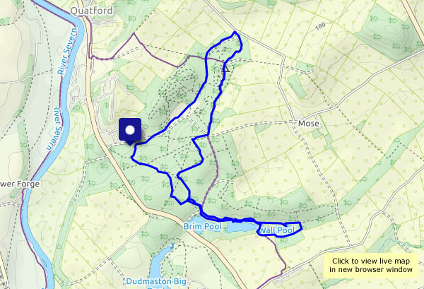
There’s an almost infinite range of possible routes through the woods; the best will lead down to the three pools – Wall, Seggy and Brim. A very pleasant spot for a wander on a fine afternoon.
View OS map on Streetmap http://www.streetmap.co.uk/map?X=374695&Y=289575&A=Y&Z=120
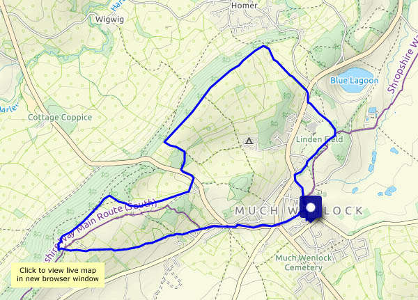
A circular from the centre of Much Wenlock. In the field opposite the school are highland cattle, and there are more by Newtown Farm. At the other end of the scale, there are numerous butterflies flitting about and occasionally resting conveniently on vegetation beside our path. They’re all speckled woods. Brown cattle and brown butterflies – it must be the time of year.
View OS map on Streetmap http://www.streetmap.co.uk/map?X=361380&Y=300385&A=Y&Z=120
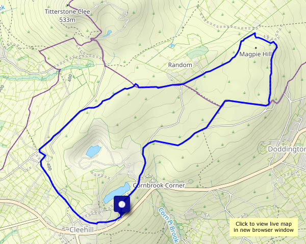
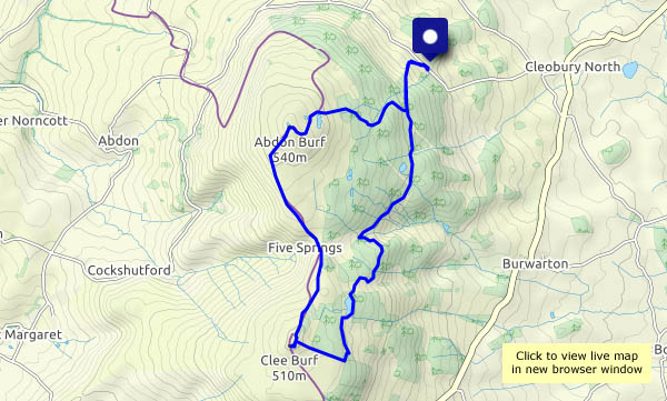
They’re the two summits of Brown Clee – Abdon Burf and Clee Burf. It’s a beautiful day – bright and sunny, cool clear air – perfect for the hills. We’ll take a picnic lunch and aim for that bench above the Five Springs. Sadly, someone else has got there first – that never happens! So our dining chairs will be dining rocks, just beyond the top of Clee Burf, facing an extensive panorama of hills through an arc from the south east, through Titterstone Clee, to the south west. Pen y Fan, the highest point of the Brecon Beacons, is just visible on the far horizon, some 55 miles distant.
The views from our return route, east of the ridge, are not to the same standard – but the blue of Boyne Water, where dragonflies flit. provides a pleasant backdrop for a second (very small!) lunch…
View OS map on Streetmap http://www.streetmap.co.uk/map?X=359620&Y=285670&A=Y&Z=120
A circular walk on a pleasant afternoon, through the fields to Wyke, then the woods of Benthall Edge. We’ll look down on the site of Ironbridge power station – it’s gone!
View OS map on Streetmap http://www.streetmap.co.uk/map?X=365560&Y=301890&A=Y&Z=120
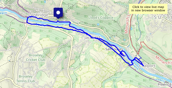
A walk down to Coalport, where a couple of slices of cake are just the thing to keep us going on the walk back home – it’s uphill all the way…
View OS map on Streetmap http://www.streetmap.co.uk/map.srf?X=369485&Y=301370&A=Y&Z=120
Red kites (and lots of buzzards) near Harnage; red berries and leaves (just a few) in the hedgerows near Kenley. And sunshine!
View OS map on Streetmap http://www.streetmap.co.uk/map.srf?X=356695&Y=301410&A=Y&Z=120
We had the mellow fruitfulness a couple of days ago. Today, after overnight rain, it’s misty. We ought to be able to look back from the (slightly) higher ground south of Cound to the Ironbridge gorge, sans power station chimney – a rural view again after 60 years or so. Not a hope! Someone’s hidden the Wrekin too.
View OS map on Streetmap http://www.streetmap.co.uk/map.srf?X=356010&Y=304045&A=Y&Z=120