Dining out (again!)

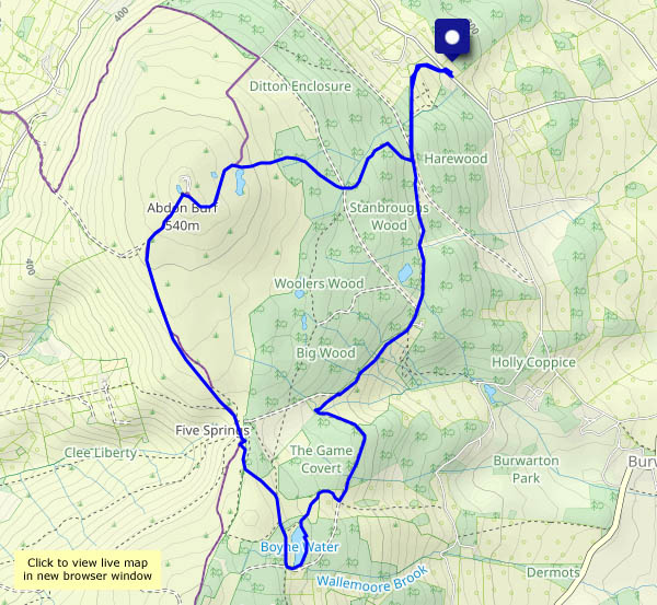
We ate out on Tuesday – outside the Tea Emporium in Ironbridge. The ambience for today’s lunch was on a different plane – nearly 1500ft above sea level, beside Boyne Water on Brown Clee. A bit draughty perhaps, and just a plain wooden plank to sit on, but much superior views – a great place to dine!  A little later, we’re enjoying our second lunch (a fine tradition is developing in these parts…) – biscuits on the bench near the Five Springs. With the Brecon Beacons in view, 55 miles to the south-west, and Cader Idris (57 miles) peeping over the Long Mynd, the views are even better.

View OS map on Streetmap http://www.streetmap.co.uk/map?X=360095&Y=285830&A=Y&Z=120

Clear blue over Coalbrookdale

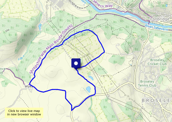
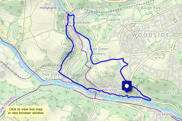
“We could walk from Bedlam, over to Coalbrookdale, then back through Ironbridge – pick up some tea at the Emporium”. Good idea, and we’ll go this morning – it will be cloudier after lunch, with showers. The timing was good too – it’s just lunchtime as we arrive in the Square. The bacon baps weren’t on the plan, but they were rather good…

View OS map on Streetmap http://www.streetmap.co.uk/map?X=367220&Y=304157&A=Y&Z=120


Flying Erics

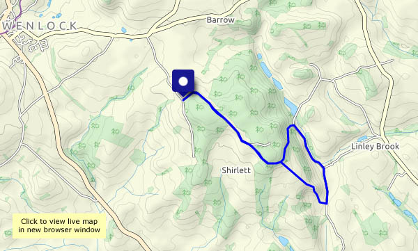
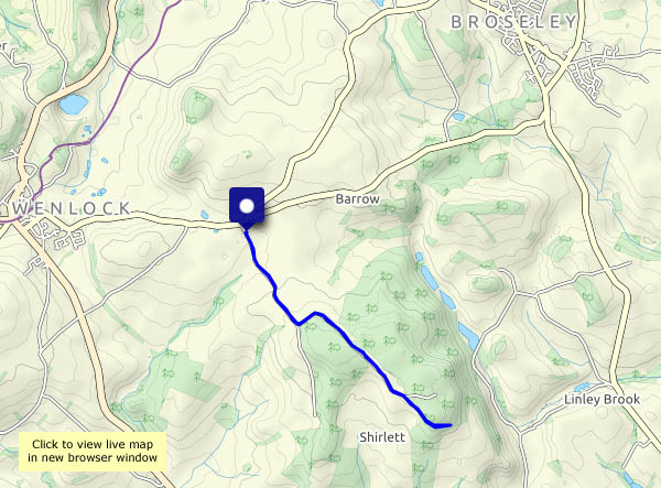
Properly known as fly agaric, it was a nephew’s apt malapropism many years ago. A couple of them caught our eyes as we walked along Shirlett Lane – they were duly recorded by the camera. It’s an out-and-back walk, but “things look different in the other direction”. They certainly did. The Reeves’s pheasant was perhaps rather overdressed for these parts. He was around on the outward walk, hard to see in the undergrowth, but determined to pose for us on our return. A little further on, there are the two Erics – and beyond them (we hadn’t noticed them earlier) dozens more, in amongst the trees beside the lane. Despite being past their best, they brighten up a dull morning.

View OS map on Streetmap http://www.streetmap.co.uk/map.srf?X=365660&Y=298545&A=Y&Z=120

Colder and clearer

Yesterday’s rain has cleared the air, and it’s much colder – we’ll need to keep moving. It’s a route we first followed just over a year ago – from Wall-under-Heywood to Rushbury, then up Gilberries Lane to Cardington, returning past Stoneacton. It’s a fairly steady ascent to the highest point at the Sharpstones – then an easy mile-and-a-bit back to the start. Very pleasant, quiet country!

View OS map on Streetmap http://www.streetmap.co.uk/map.srf?X=351100&Y=293620&A=Y&Z=120