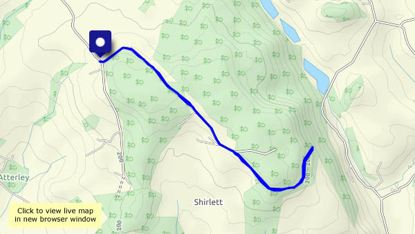
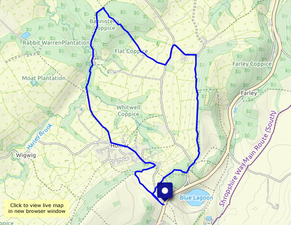
…along Shirlett Lane on a mid-May evening, for a breath of fresh air. It’s quiet along here, apart from the birdsong, and who could possibly complain about that?
View OS map on Streetmap http://www.streetmap.co.uk/map.srf?X=366090&Y=298085&A=Y&Z=120
Short walks with photos and a Google map.
…along Shirlett Lane on a mid-May evening, for a breath of fresh air. It’s quiet along here, apart from the birdsong, and who could possibly complain about that?
View OS map on Streetmap http://www.streetmap.co.uk/map.srf?X=366090&Y=298085&A=Y&Z=120
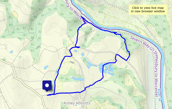
It’s not actually raining, but there are spots in the breeze from time to time. We’re walking around Colemore Green – starting out near the old Astley Abbotts school, past Boldings Pools, down through Chestnut Coppice to the old railway track, then back up to the little wayside shop (we’re out of marmalade!). Under a grey sky, today’s interest is in the detail.
View OS map on Streetmap http://www.streetmap.co.uk/map?X=371135&Y=296950&A=Y&Z=120
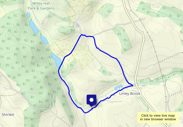
When the light’s like this, it’s against the law to stay at home. Familiar territory, exceptional illumination!
View OS map on Streetmap http://www.streetmap.co.uk/map?X=367515&Y=298310&A=Y&Z=120
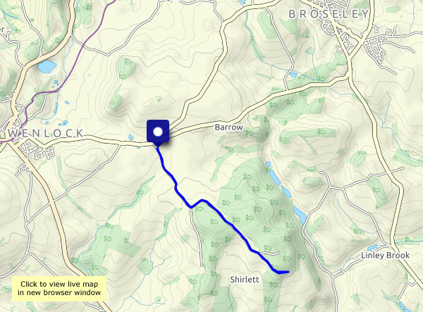
Steady rain all morning (we need it!) – then, the forecast suggested, a less-than-perfect afternoon followed by a brighter evening. By 1.30pm it’s looking pretty good – let’s go for it. The ground will be wet away from a good surface – we’ll stick to Shirlett Lane, for a good leg-stretch and some great views in the rain-washed air.
View OS map on Streetmap http://www.streetmap.co.uk/map.srf?X=365660&Y=298545&A=Y&Z=120
Bannister’s and Traps Coppices in May. There’s a big clump of rhododendron in Bannister’s, and in Traps the early purple orchids are in bloom – there are 60 or more flower heads in one small area. The wild garlic is everywhere! Becoming sunnier as the afternoon wears on, it’s very pleasant under the trees today.
View OS map on Streetmap http://www.streetmap.co.uk/map?X=362150&Y=302080&A=Y&Z=120
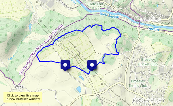
Walking down to Coalport, for tea and cakes beside the former china works, now a museum (to answer the obvious question – no, the YHA café serves on everyday earthenware – nevertheless, the cakes are great!). As we plod steadily back up the dingle, there’s a pleasant pong – the wild garlic is in full bloom. Snowdrifts in May!
View OS map on Streetmap http://www.streetmap.co.uk/map?X=369245&Y=301430&A=Y&Z=120
… following a showery afternoon (we’d have got soaked!). There’s not much light (other than in the far distance) but it’s very pleasant around these quiet lanes.

View OS map in Streetmap http://www.streetmap.co.uk/map.srf?X=367470&Y=298250&A=Y&Z=120
“Are you remembering I’m out this afternoon?” “Yes – can I cadge a lift?” So – I’m walking back from Buildwas, past the park homes and up from the curiously-named Hunger Dale to cross Benthall Edge and head for home past the hall, down Lodge Lane and across the Fiery Fields. Opportunities for point-to-point walks shouldn’t be missed!
View OS map on Streetmap http://www.streetmap.co.uk/map?X=365645&Y=302700&A=Y&Z=120
Tuesday: oilseed rape is this year’s crop in the fields around Barrow, and it’s in full bloom at present. Even when the sun’s behind a cloud, it seems to be shining. Another familiar route – down through the fields and across Barrow Dingle, then up past the church and across the fields to Arlescott and back. In places we’re unavoidably brushing against the crop as we walk – we’re speckled bright yellow by the time we’re back to the start.
View OS map on Streetmap http://www.streetmap.co.uk/map?X=365520&Y=299945&A=Y&Z=120
Monday: Cheshire, walking part of the Sandstone Trail on a fine day (the weather’s much better than forecast). A particular feature of interest, at the start of the walk, is the disused 2′ gauge railway incline up the steep slope below Bulkeley Hill. It was rope-worked – had to be, the gradient is exceptionally steep – reckoned to be around 1 in 1 at its steepest. The concrete sleepers are like well-placed steps, but at over 300′ /100m, it’s quite a staircase. It’s a quick way up, but hard work!
The woodland at the top is a perfect place for a break and lunch (we’ve earned it), before setting out along a route which encircles the hill to the south, takes in Raw Head, the highest point, and provides extensive views in all directions (though not all at the same time…). The south Pennine moorlands beyond Stoke provide an eastern horizon; to the north-west is Merseyside, where we can pick out the Pierhead buildings and the cathedrals. To our west are the Welsh border hills, with Moel Famau prominent – and to the south, the Shropshire hills. All that from a path that’s a delight. What an interesting outing!
Wikipedia – Bulkeley Hill Narrow Gauge Railway
View OS map on Streetmap http://www.streetmap.co.uk/map?X=352035&Y=354645&A=Y&Z=120