
They’ll be shady, cool perhaps… In the still and humid air, any sunshine would be uncomfortable, but in the event we saw little of the sun, and it was certainly very pleasant under the trees on the eastern slopes of Brown Clee. Colourful too – great masses of rhododendron here and there. It’s Cosford air show today – we might see some of the flying exhibits? We did, but just one big thing that circled for a time, never getting quite close enough for a decent photo. We didn’t see (or hear) the Red Arrows either – perhaps we’re just too far away. We did see a red kite, which on balance is a preferable alternative… And other than one group of chatty walkers, we had the hill to ourselves.
What does it sound like up here? Listen!


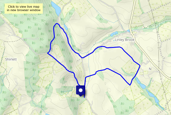
View OS map on Streetmap http://www.streetmap.co.uk/map?X=359930&Y=286800&A=Y&Z=120














 geoffspages.blog