Severnside spring

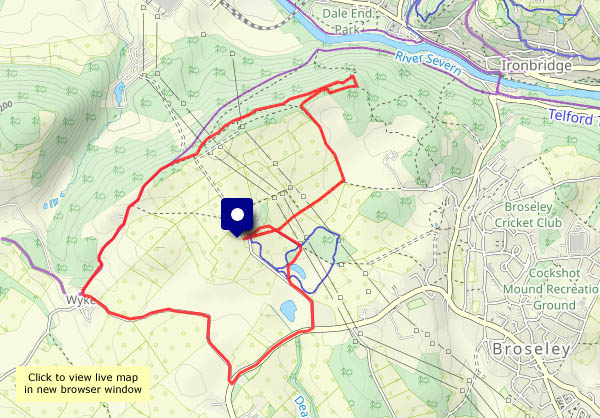
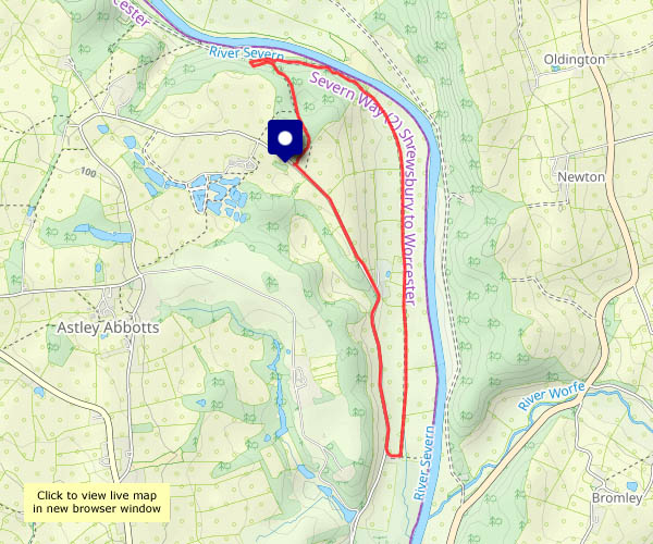
On the whole, it’s a pleasant early-spring afternoon – the sun, when it shines, is warm. There are one or two showers about though. I felt a few drops, and began to wonder if I was going to get wet, but it soon passed. Later, approaching the woods along the old railway track, there must have been a few drops blowing in the breeze, as there was a faint rainbow. Sadly, the crock of gold was on the other side of the river…

View OS map on Streetmap http://www.streetmap.co.uk/map?X=372065&Y=296465&A=Y&Z=120

Primrose paths

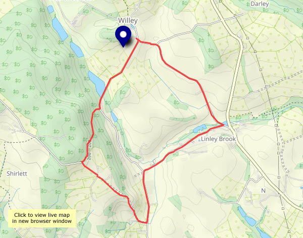
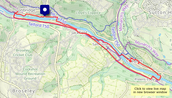
Not exactly… (aren’t they supposed to lead to a bad end?) The paths really aren’t fit for walking – I’ll stay on the surfaced lane, itself wet and muddy, with an assortment of potholes. I wouldn’t want to drive along these lanes! There’s no shortage of the pale yellow flowers now, and one or two other shades are starting to appear – there are a few violets, and – what’s this? I’ll have to look it up when I get home. Apparently it’s toothwort, a pale parasite, not the commonest of plants.

View OS map in Streetmap http://www.streetmap.co.uk/map.srf?X=367470&Y=298250&A=Y&Z=120

It’s spring at Cound

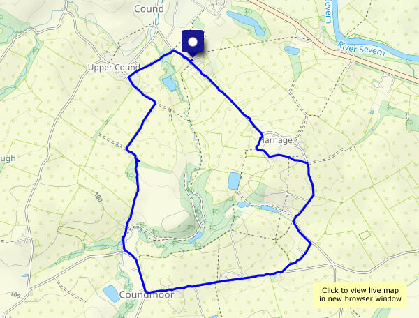
It certainly feels like it – pleasantly warm in the sunshine (hat and gloves in pocket, jacket unfastened…), and with practically no wind, it’s very enjoyable wandering around these lanes. (Later, the sun hides behind the clouds, and it’s not quite so warm. It comes out again as soon as I’m in the car, driving home)

View OS map on Streetmap http://www.streetmap.co.uk/map.srf?X=356010&Y=304045&A=Y&Z=120

Below the Edge

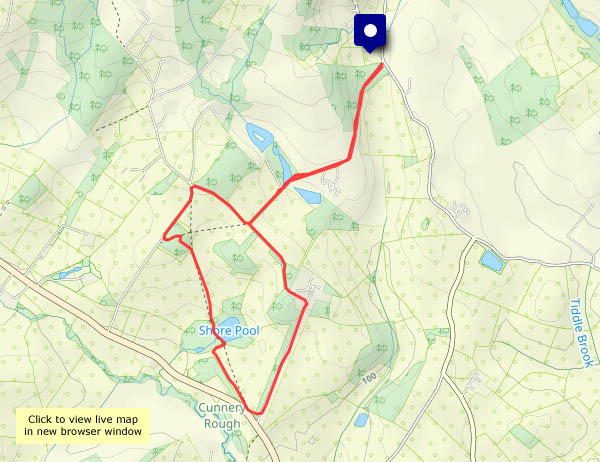
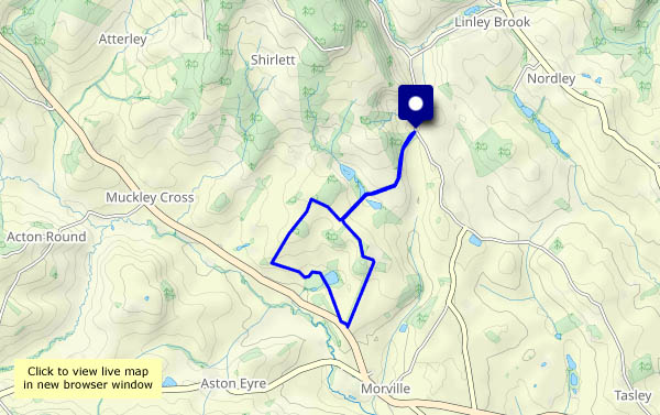
The start, near Church Preen school, is well below the Wenlock Edge. At the highest point of my wander, a little way beyond Church Preen village, I’m almost at the same height, and can see the Clee hills beyond – nevertheless the Edge dominates the eastern horizon. Looking west now, there are fine views towards the Welsh border, though the distance is rather hazy. To the north, the Wrekin’s in charge. This is very pleasant quiet country.

View OS map on Streetmap http://www.streetmap.co.uk/map.srf?X=354860&Y=298485&A=Y&Z=120

One more week…

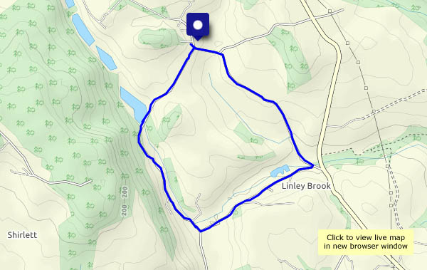
…and it will be spring, by the Met Office’s definition. It certainly felt springlike when I set out. There will be rain later – there’s been a lot of it recently. The fields are completely sodden, and refuse to accept any more water, so instead it’s running off down the roads. Despite the wetness, the signs of spring are everywhere – hawthorns leaves are brilliant green in the hedgerows, there are primroses and periwinkles (garden escapees?) and the blackthorn blossom is starting to appear.

View OS map in Streetmap http://www.streetmap.co.uk/map.srf?X=367470&Y=298250&A=Y&Z=120

Bornesketaig

Monday 19 February: A last Skye leg-stretch, grabbing a couple of hours between lunch and the onset of rain… There’s a stiff breeze raising the waves down by the slip at Camus Mor, and I won’t go too near the cliff edge, but there’s some brightness for a time, and the rain held off. The first drops are falling as I drive away.

View OS map on Streetmap http://www.streetmap.co.uk/map?X=137830&Y=870875&A=Y&Z=120

Going over to the other side…

Sunday 18 February: Sometimes the weather in Staffin, on the east coast of Trotternish (and not quite 7 miles away, as the golden eagle flies), is very different from that on the west. The Met Office thought it would be different too – I left in murky mist, under heavy cloud, and enjoyed bright sunshine for much of my walk. The basic route is quite short (and we’ve done it many times), but today I lengthened it by walking to the end of the line of cliffs above the slip (which may explain the unlikely route shown below), for an aerial view of familiar places.

View OS map on Streetmap http://www.streetmap.co.uk/map?X=149025&Y=867956&A=Y&Z=120