Violets and yellowhammers

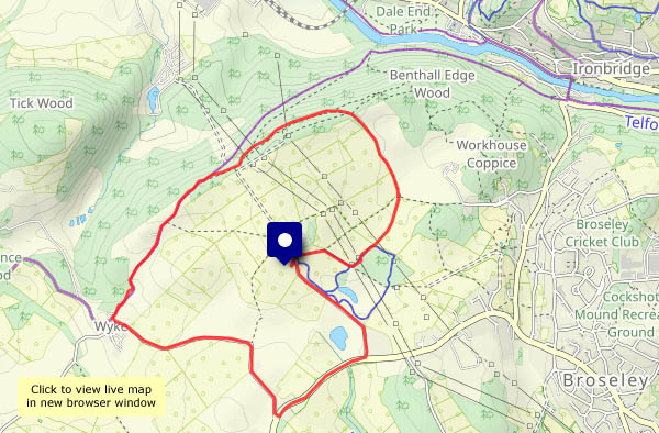
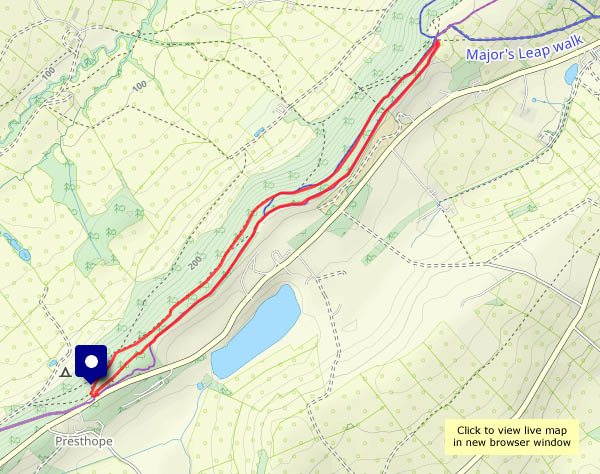
It’s not quite the walk we’d intended. The bluebell wood path is blocked (we’ll take the detour, along the edge of the field), then further on Workhouse Coppice is, in effect, closed – both due to fallen trees. We’ll retrace our steps a little way and head for Benthall Edge woods, where there’s no problem. We’re entertained along the way by numerous songbirds – the usual suspects plus, on this occasion, a chiffchaff or two, and last of all a yellowhammer. He’d love some bread, but isn’t too struck on cheese, apparently.


Chiffchaff, robin, wren, thrush, wood pigeon, blue tit, yellowhammer…

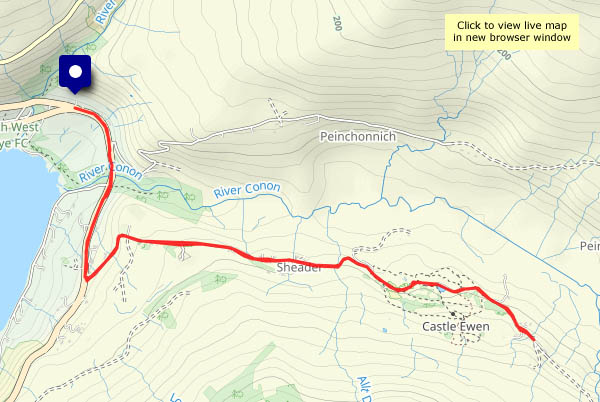
View OS map on Streetmap http://www.streetmap.co.uk/map?X=366070&Y=302595&A=Y&Z=120

Nordley Common and Stocking Lane

Last time I tried to walk through the sheep pastures up here, about 15 months ago, the mud did its best to stop me. I suspect it’s been quite muddy ever since, but the recent dry weather made it worth a retry. Yes, soft in places but not a problem. On this fine morning – the vernal equinox, no less – it’s very pleasant up here, and (dare we say it?) comfortably warm. No hats, scarves, gloves, thick winter jackets today!

View OS map on Streetmap http://www.streetmap.co.uk/map?X=368065&Y=297340&A=Y&Z=120

A sense of space

Aston Munslow: a walk up to the Wenlock Edge, the crest of which is over 1,000′ in these parts. It clearly catches the wind – December’s storm Darragh has done some damage. We’ll have to revise our route. Diversions notwithstanding, this is a great place to be on a fine and sunny afternoon. The views across Corvedale are extensive, taking in the Clee hills and Mortimer Forest, beyond Ludlow. There’s a real sense of space up here – and we’ve got it all to ourselves!

View OS map on Streetmap http://www.streetmap.co.uk/map?X=351190&Y=287735&A=Y&Z=120

A study in scarlet

We last walked this way back in July, when the Wenlock Edge was a colourful place to be (see The colour of July). It’s not quite as colourful in mid-March, though the occasional patch of primroses brightens things up. Then a few spots of bright red catch the eye – a fine display of elf cups on a rotting log. Almost back to the start, there’s a very different fungal growth (not quite as eye-catching) – a cluster of black blobs – none other than King Alfred’s cakes.

View OS map on Streetmap http://www.streetmap.co.uk/map?X=359435&Y=298335&A=Y&Z=120

Balmacqueen: white waves, black rocks

There’s sufficient breeze to make white waves on the black rocks of Balmacqueen, and the sun’s doing much better today… I’ve walked this way several times, but it never fails to please, with a fine rocky foreground and extensive views. To the east are the mountains of mainland Scotland; to the north-west are the rugged hills of Lewis. Between them is open sea – next stop (well over the horizon!) the North Pole…

View OS map on Streetmap http://www.streetmap.co.uk/map?X=144323&Y=874438&A=Y&Z=120

Glenhinnisdal: the sunny side

It would have been, if the sun had shone… It tried, and eventually succeeded, but not until I was back from this walk up the glen of the Abhainn Hiniosdail. We’ve walked up the south side many times – a pleasant track through the community forest, with some interesting side-paths. Today I’m on the surfaced road – potentially brighter, and the views are different, but harder on the feet…

View OS map on Streetmap http://www.streetmap.co.uk/map?X=140929&Y=857850&A=Y&Z=120

The ferry and the fairies

Uig: after two days of rain and strong winds, there’s a dry afternoon in prospect. The southerly wind’s still quite strong – mid-40s mph – so some shelter would be good, as would a dry surface to walk on. The Fairy Glen! I was reluctant – last time I was here it was crawling with visitors, but it shouldn’t be too bad in early March. (It wasn’t – a few others, all heading for Castle Ewen, were easily avoided). Fairies notwithstanding, Glen Conon is an attractive and peaceful valley, with some magnificent waterfalls on its northern slopes.
As I set out, the ferry was docking at Uig pier. When I next overlooked the bay, on my way back, it was just rounding the headland on its way out. Nice timing for a most enjoyable outing!

View OS map on Streetmap http://www.streetmap.co.uk/map?X=140673&Y=863556&A=Y&Z=120