Easthope greenery

We’re walking from the National Trust car park at Presthope, through the fields to Easthope and back along the old railway track. There was a “halt” at Easthope, just by the bridge – but we never had a chance to ride on this line. It closed to passengers in the early 1950s; freight from Longville ended in 1964.

View OS map on Streetmap http://www.streetmap.co.uk/map.srf?X=357385&Y=296311&A=Y&Z=120

Grey sky, red kite, Brown Clee

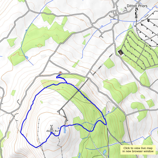
The sky may be uninspiring, but it’s a fresh-feeling afternoon, and the weather forecast thinks it should stay dry. A track follows the contours around the northern part of Brown Clee – we’ll join it at its northernmost point and follow it round to the west, then walk over the top of the hill and down the other side. We can then use the eastern arm of the track to get back to the start. A red kite is overhead briefly; sheep are everywhere, but there’s no-one else to be seen today. Do they know something we don’t, or is it the other way round?

View OS map on Streetmap http://www.streetmap.co.uk/map.srf?X=359685&Y=286976&A=Y&Z=120

Orchids galore

The wild rose is in bloom now, and very attractive it is, with almost-white and decidedly pink specimens. I’m wandering near Benthall Hall on a fine June afternoon. There’s woody nightshade beside the pool, and several orchids (common spotted) in the grass nearby. In the meadow beyond, there are several more amongst the buttercups and daisies. Then, in the scrubby grassland beyond, there are many more – a clump of several large heads catches my eye – and finally there’s a patch of maybe a hundred flower heads. Quite a sight!

The fields here are in the care of the National Trust, part of the Benthall Hall estate.

Morville to Broseley

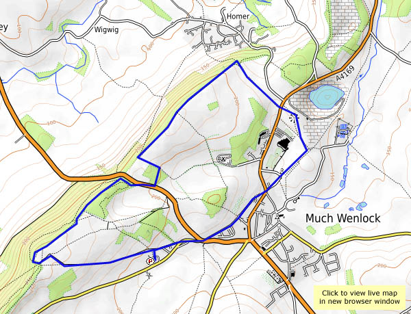
“If we go to Wenlock on the bus, we can take a Shrewsbury – Bridgnorth bus as far as Morville, and walk back”…  True, though the bus from Shrewsbury was more than 20 minutes late – we nearly gave up (I blame the ongoing road works in Shrewsbury – no fun at all). We’ve walked most of the constituent parts of this route on previous occasions, but never joined them together. It’s very pleasant wandering on this warm 1st June afternoon, and once we’re away from the main road at Morville, it’s very quiet too. Most enjoyable!

View OS map on Streetmap http://www.streetmap.co.uk/map.srf?X=367450&Y=297876&A=Y&Z=120

Last of the Early Purple

Weds. 24 May: the month seems to have passed by rather quickly. We’ve usually been up to the Wenlock Edge by now, to see how the orchids are doing. But we’ve left it late – they’re not doing, they’re done, more-or-less. There are usually lots on the hillside amongst the bluebells, which are history now, though there are still one or two orchid stragglers – late early purple, perhaps. Orchids or not, it’s a perfect May afternoon.

View OS map on Streetmap http://www.streetmap.co.uk/map.srf?X=361490&Y=300371&A=Y&Z=120

Horseshoe Falls

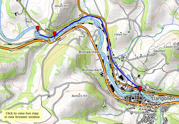
Fri. 12 May: Llangollen: a pleasant walk beside the canal to the recently-restored chain bridge at Berwyn, and the Horseshoe Falls on the Dee. On my first visit here, over 40 years ago, the falls came as a disappointment. After seeing down through the trees to the rushing waters of the Dee, tumbling over the rocky river bed, we came to the curving weir. “Is that it?”. It’s there to provide a feed for the canal, which flows like a clear stream down to Llangollen, and it’s well worth a visit, whatever its origin.

Why did we do it? See previous post “Future Steam”

View OS map on Streetmap http://www.streetmap.co.uk/map.srf?X=320446&Y=342859&A=Y&Z=120

Quiet flows the Severn

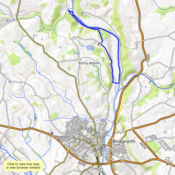
Weds. 10 May: we’re out for a leg stretch, on a perfect May afternoon. It’s warm too – perhaps we could cast a clout or two. I’ve never been sure whether the saying relates to the month or the May blossom of the hawthorn, which is truly “out”. We’re walking down the lane to Lower Severn Hall – there we’ll cut across to the river, and walk back along the bank as far as the Apley bridge, then return along the old railway track and up through the woods. There are one or two other people about, but it’s certainly quiet beside the Severn here.

View OS map on Streetmap http://www.streetmap.co.uk/map.srf?X=371365&Y=296926&A=Y&Z=120

Rubha na h-Aiseig again

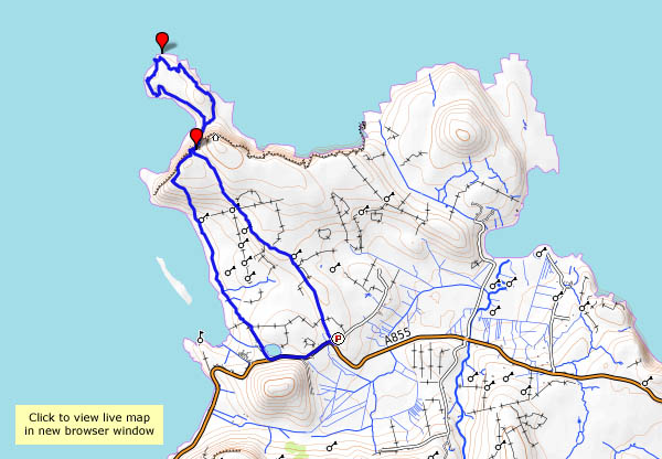
Tues. 2 May: we’ve walked this way several times before, but it’s always an enjoyable outing. From the tiny Port Gobhlaig, a faint path follows the top of low cliffs, with stacks and inlets and an excellent view to the coast and hills to the south. After a little while, what seems to be an ancient path descends steeply to the grassy foreshore, fringed by rocks, pools and camels (just their humps). Eventually, one can go no further. There’s evidence of settlement here, the remains of perhaps three “black” houses by the shore – is this where a ferry (to Trodday, just a mile off shore) once departed? It’s a pleasant, and exceptionally quiet spot – there’s no-one else here – a good place to find a comfortable rock seat and gaze across the water. Eventually, we return the way we’ve come, more-or-less, which is no hardship given the views of the cliffs and Trotternish ridge ahead.


View OS map on Streetmap http://www.streetmap.co.uk/map.srf?X=144015&Y=875895&A=Y&Z=120

Back to Rubha Hunish

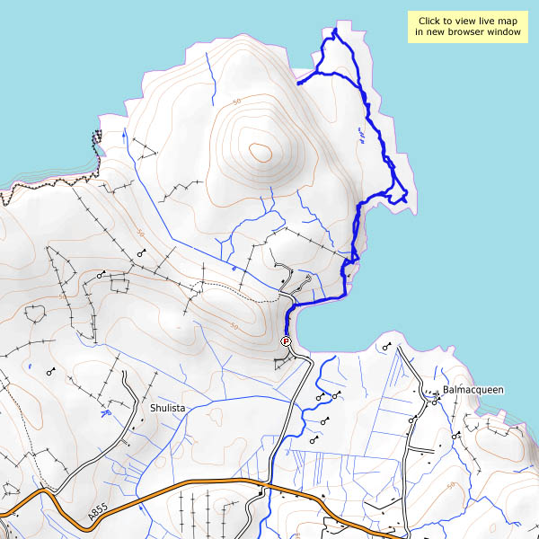
Mon. 1st May: I’m on my own again, heading for Skye’s northernmost tip – Rubha Hunish. The path down the cliff face, between Meall Tuath and Meall Deas, puts many casual wanderers off. They’ve already reached a spectacular viewpoint, but the promontory below the cliffs is somewhere special. A cruise liner passes as I descend carefully: I’d much rather be where I am than where they are. There’s a great feeling of freedom on Rubha Hunish – I’d feel trapped inside that thing…

View OS map on Streetmap http://www.streetmap.co.uk/map.srf?X=141460&Y=875564&A=Y&Z=120

Glen Hinnisdal

Sun. 30 April: the circular walk that wasn’t… Glen Hinnisdal cuts deep into the Trotternish ridge, a few miles south of Uig. A surfaced road links scattered houses on the north side of the river; to the south, it’s paralleled by a well-graded and very walkable forest track. Much of the forest has been felled in recent years, though there is still some untouched woodland at the end of the track, just beyond the river crossing. If we follow one of the rides down through the forest, we can perhaps get across to the north side and walk back down the road. No chance! At first it’s just plain difficult, very wet under foot – but then we come to an area where trees have been blown across the gap, and now it’s impenetrable! We have to retrace our steps. A golden eagle flaps away from the tree tops yards from where we turn – wow, he’s big. I don’t think many walkers have been here recently.

The views are, of course, subtly different on the way back – instead of the ridge, we’re now facing the Waternish peninsula across Loch Snizort, with Macleod’s Tables beyond. We’ve come here to try to avoid the cold easterly breeze – and now the wind’s dropping, and there’s more blue in the sky. We may not have achieved what we’d intended, but it’s been very pleasant.
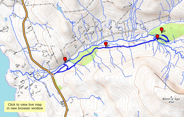
View OS map on Streetmap http://www.streetmap.co.uk/map.srf?X=141610&Y=858170&A=Y&Z=120