Teas and Toys

The visit to the toy shop in Ironbridge was planned in advance (a birthday is on the near horizon). We’ll make a walk of it – up the hill and past Woodside to pick up the path (a former plateway) beside the railway. Passing through the museum yard, the lights are on the tea shop – are we going to be tempted?

When we leave, the light has almost gone outside, and the Ironbridge shops have a welcoming appearance on this cold afternoon. A more successful outing than we’d anticipated!

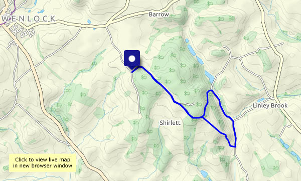
View OS map on Streetmap http://www.streetmap.co.uk/map?X=367350&Y=303965&A=Y&Z=120

The Cound Highlands

I exaggerate, of course – we start, from the car park at Cound Guildhall, at about 200 ft above sea level. The highest point on the route is about 360 ft – but that extra elevation provides some wonderful panoramic views. The forecast says ‘sunny intervals’ – which means we will have cloudy intervals too. That’s one fairly long one, with just a few spots of light rain, and bright sunshine before and after. The sky is deep blue; the clouds look as though you could slice them and spread them with marmalade – an appropriate shade for this autumnal afternoon.

View OS map on Streetmap http://www.streetmap.co.uk/map.srf?X=355585&Y=303886&A=Y&Z=120

Hazy Hopesay

We walked this way, more-or-less, six years ago (see Hopesay Hill and Wart hill) on a beautiful spring day. I’ve just checked the photos – it’s hard to believe it was the same place. Today it’s hazy, the views very limited and the lighting flat. At least it’s dry, and we’re not melting, as we would if we’d come this way just three or four days ago. Hopesay is a very quiet part of the Shropshire hills, in the midst of some very attractive hill country but not well known. We saw more red kites (out of camera range – sorry) than walkers. It deserves to be better-known, but I’m glad it isn’t…

Navigational note: we’re walking clockwise from the start in Hopesay village; the red line on the map above shows our intended route, past Grist House. We actually followed the longer route to its north-west, at first along a very well-made farm track that isn’t shown on any of the maps. Not on the OS 1:50,000 or 1:25,000, nor the Google or Bing aerial views. We never even noticed the correct route – we just followed a track we’d expected to find…

View OS map on Streetmap http://www.streetmap.co.uk/map?X=339530&Y=284195&A=Y&Z=120

Astley Abbotts and the river

Mostly quiet ways on the west bank of the Severn: out via Astley Abbotts, then via Colemore Green to the river bank. The old railway track is busy with bicycles, but we’re not on it for long, and it’s quiet again as we climb up through Chestnut Coppice and back to the start.

View OS map on Streetmap http://www.streetmap.co.uk/map?X=371000&Y=296755&A=Y&Z=120

Following Francis

We didn’t go out yesterday – storm Francis brought frequent blustery showers and high winds, putting a walk out of the question. Now the wind has dropped and it’s a fine late summer afternoon. We’ll walk along Shirlett Lane, down Ned’s Lane and back up past Round Hill – and hope the way isn’t blocked by fallen trees…

It transpired that Ned’s Lane had been blocked by a huge oak, but whether that was Ellen or Francis’s doing, I’m not sure. The tractor tyreprints suggested it had been cleared very recently – well done to whoever it was!

View OS map on Streetmap http://www.streetmap.co.uk/map.srf?X=366240&Y=297950&A=Y&Z=120