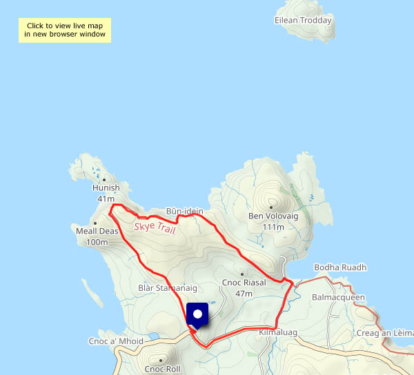
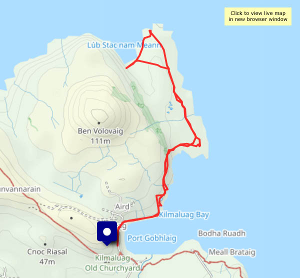
As mentioned in yesterday’s post, Sunday’s weather was much more friendly – bright, some pleasant sunshine, and sufficient breeze to keep the midges away… I’ve walked this circular route a couple of times recently – it’s the first few miles of the Skye Trail, linking the small car park at the Shulista road end with Kilmaluag old churchyard, or Cladh. As there’s space at the former, I’ll start there – and walk the route anti-clockwise, to get the road walk done first (it’s not bad – not much traffic this afternoon).
Once off the road, the walk is very enjoyable, passing the old settlement (now home to lots of rabbits) and cairn at Dunvannarain on its grassy ridge. Soon I’m at the cliff edge, and the coastal scenery is spectacular as far as the bothy (a former coastguard look-out) on Meall Tuath. After the compulsory choc-stop (there’s a perfectly-placed bench), the return to the start is easy and pleasant – a well-trodden way, much improved in recent years, with great views to the western coastline of Trotternish, the sea sparkling in the sunshine.
View OS map on Streetmap http://www.streetmap.co.uk/map?X=142365&Y=875170&A=Y&Z=120


")


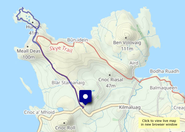
 and Rubha Hunish")

")


")