
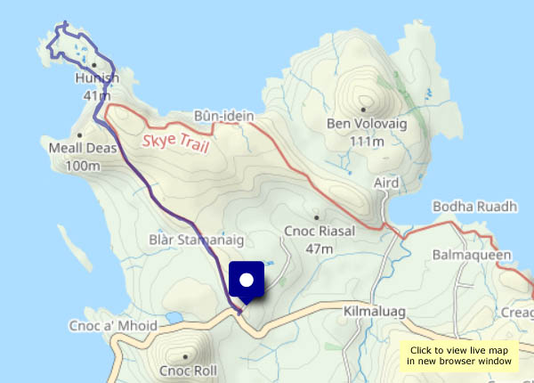
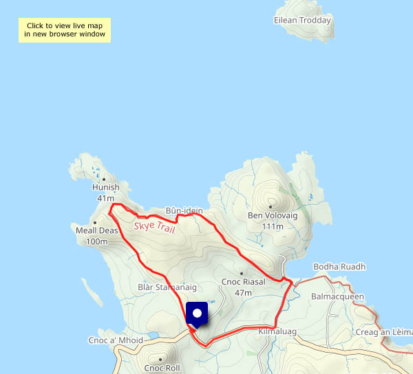
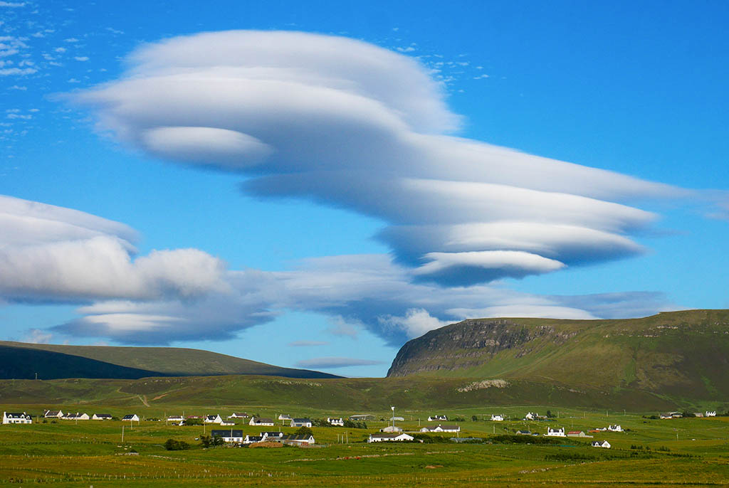
Wednesday 18 September: It’s the northernmost tip of Skye, accessible only by a very steep and exposed “path” down the cliff face. Lots of people park at the end of the Shulista road and walk along the excellent path to the cliff top, look down and decide to visit the ex-coastguard bothy on top of Meall Tuath instead. I’ve been to the bothy three times this year, on longer walks where the visit to Rubha Hunish would be too much for a short outing. Today I’m descending! It’s barely a mile from the cliff top to the tip of the island, but a full two hours have elapsed by the time I’m back at the top (I’d have been walking in total darkness on my January and February visits). Skye’s roads are very busy with visitors, but for those two hours, I have the little Hunish peninsula to myself – paradise! That monster cruise liner can hold over 4,000 passengers. I know where I’d rather be on this beautiful sunny day!


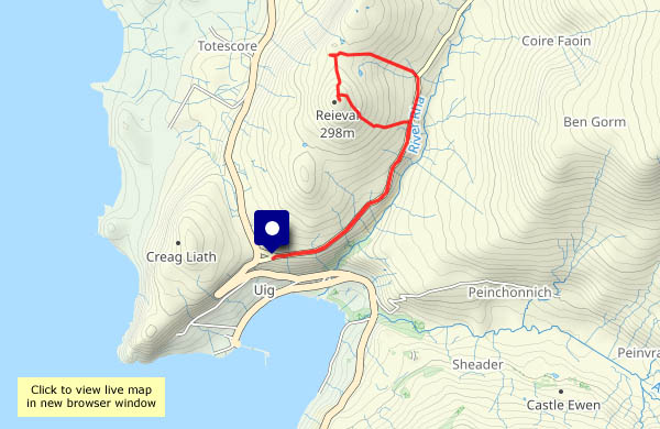
View OS map on Streetmap http://www.streetmap.co.uk/map?X=141439&Y=875598&A=Y&Z=120
")


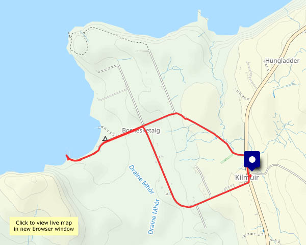
 and Rubha Hunish")

")


")


")


