Thursday: walking with the camera, across the Fiery Fields and Lodge Lane to Benthall Hall. We’ll find a different route home again through quiet back roads.
Category: Shropshire hills
Bould Lane and Round Hill
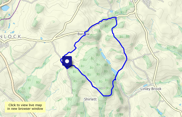
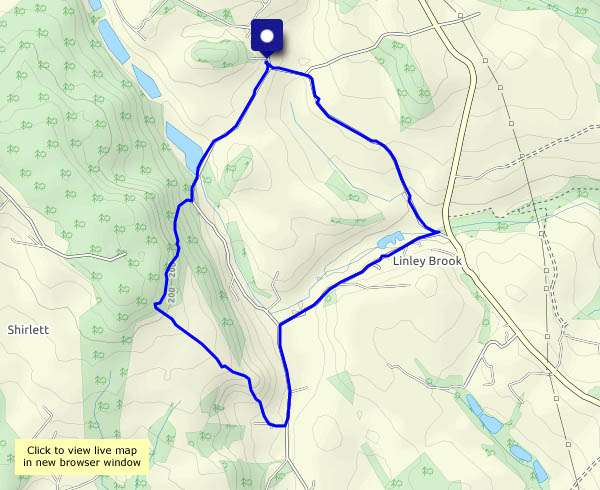
Wednesday 4 November: a walk from Willey – down Bould Lane, through Linley Brook, up the track to Round Hill, and back down Ned’s Lane. There’s barely a breath of wind, and though it’s not as sunny as forecast (and slightly damper…), it’s very pleasant to be out.
View OS Map on Streetmap http://www.streetmap.co.uk/map.srf?X=367580&Y=297955&A=Y&Z=120
Around Cound
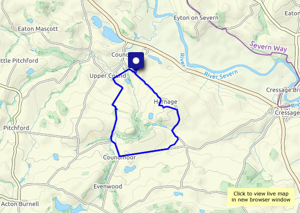
This is the route we followed two months ago – see A Cound Round (it still doesn’t rhyme). It’s colder today, and though it’s bright and sunny, we could get a shower. Fingers crossed! The views from this slightly elevated land are, of course, more autumnal now.
View OS map on Streetmap http://www.streetmap.co.uk/map.srf?X=356010&Y=304045&A=Y&Z=120
Stanley Lane and Chestnut Coppice
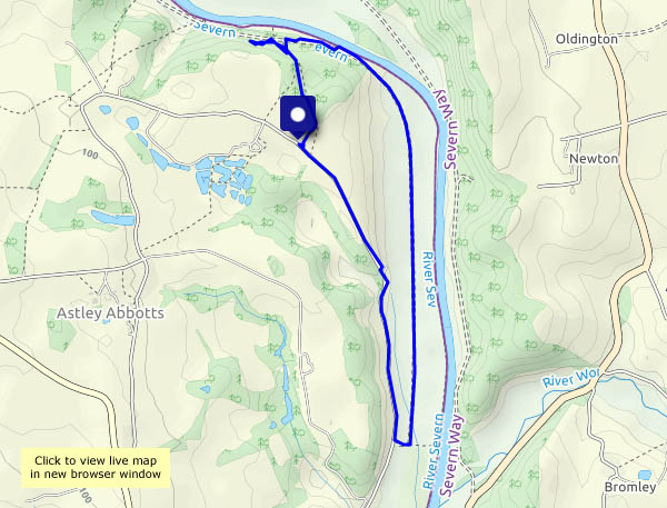
It’s windy, and the forecast says there could be a shower or two. As we approach our parking spot, there’s a rainbow, but that’s the last rain we’re aware of. This part of Stanley Lane is very quiet – as is the old railway track. Coming back up through the woodland of Chestnut Coppice, the autumn leaves are striking. Admittedly most of them are on the ground now…
View OS map on Streetmap http://www.streetmap.co.uk/map.srf?X=371805&Y=296520&A=Y&Z=120
Church Preen at Hallowe’en…
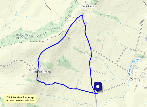
… doesn’t look any different from Church Preen on any other day at this time of year. I suppose there was a house with a witch in the porch, but I wasn’t sure it was wise to point the camera in her direction. It’s just very pleasant to be out in the sunshine, on a day that looked like being wet.
View OS map on Streetmap http://www.streetmap.co.uk/map.srf?X=354860&Y=298485&A=Y&Z=120
Warm tones on a cold morning
There could be some blustery showers later in the day, so we’ll have a stroll in the morning. The world seems quieter before lunch… It stays dry, until the first spots of rain fall just as we get back to the car. Ten minutes later it’s pouring!

View OS map in Streetmap http://www.streetmap.co.uk/map.srf?X=367470&Y=298250&A=Y&Z=120
Harley and Cressage
A farm track, quiet roads and a short woodland path make this a pleasant stroll through attractive country. There are great views to the Wrekin on the outward leg, but (how churlish can one get?) the sun is directly behind us, so the lighting for those views is rather flat. Heading back up Wood Lane, our route from Cressage, the sun is in our eyes – we can hardly see anything at all! Further up the lane, the light is filtering through the autumn leaves, and the short stretch though Butler’s Plantation is delightful. Finally, we turn back towards Harley – there’s the Wrekin again.
View OS map on Streetmap http://www.streetmap.co.uk/map.srf?X=359600&Y=302740&A=Y&Z=120
Tally Ho!
It’s a pub, at Bouldon (not today, thanks…). We called in one evening several years ago – the landlord asked us if we were lost (a strange kind of welcome). Apparently that’s how most people find the Tally Ho. We’re walking around quiet lanes in Corvedale, and though it’s not as sunny as it looked like being (with a few drops of light rain as we left the car), there are some brief spells of dramatic lighting. The sunshine is at its best, inevitably, when we’re in the car…
View OS map on Streetmap http://www.streetmap.co.uk/map.srf?X=353835&Y=285540&A=Y&Z=120
Clee breezes
Thursday 22 October: there’s a stiff breeze from the north-west, and the air is cold, but we’ll soon warm up as we walk from Cockshutford, heading for the top of Brown Clee at Abdon Burf. Too cold to hang around! We’ll retrace our steps for a little way to continue along the ridge (though it’s hardly that) to the secondary summit at Clee Burf – and it’s all downhill from here, pausing only to record the presence of some splendid (though not fully-grown) parasol mushrooms below Nordy Bank.
View OS map on Streetmap http://www.streetmap.co.uk/map.srf?X=358970&Y=285485&A=Y&Z=120