Causeway Wood

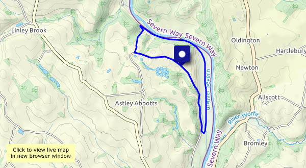
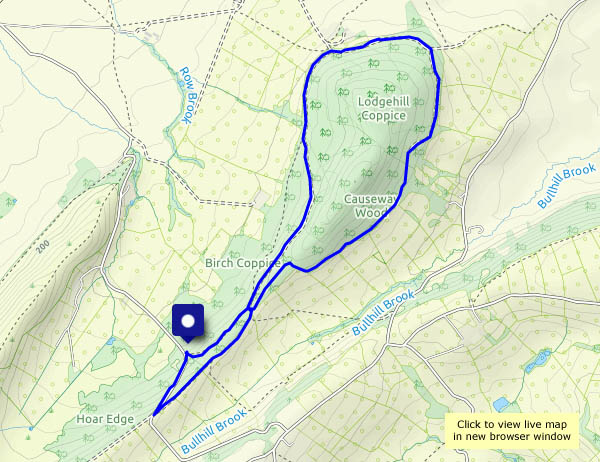
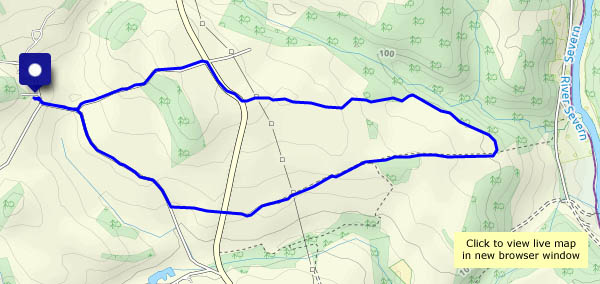
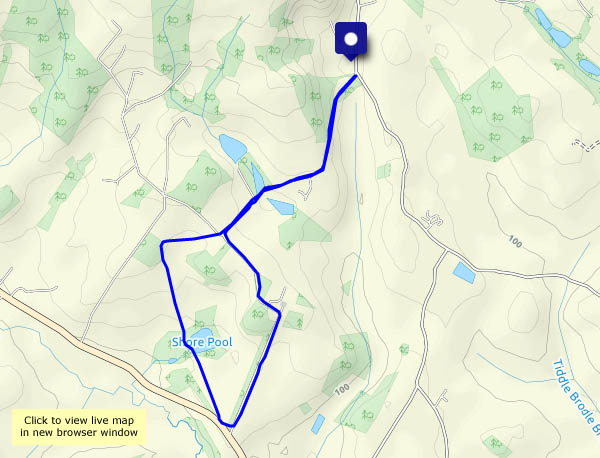
We attempted this walk back in October (see Timber!) but had to turn back when we met some “serious-looking forestry operations”. Today there’s no forestry work taking place, and we’re able to complete the circuit of Causeway Wood. That final section (we weren’t certain it existed!) was very pleasant, after the forestry tracks we’d followed – a single-file footpath just within the forest’s edge, with views to the wooded ridge to the east. Worth returning for! Perhaps next time we’ll make an attempt on the summit (no great height, but the undergrowth was overwhelming last time we tried it…)

View OS map on Streetmap http://www.streetmap.co.uk/map?X=351300&Y=298690&A=Y&Z=120

Out like a lamb…

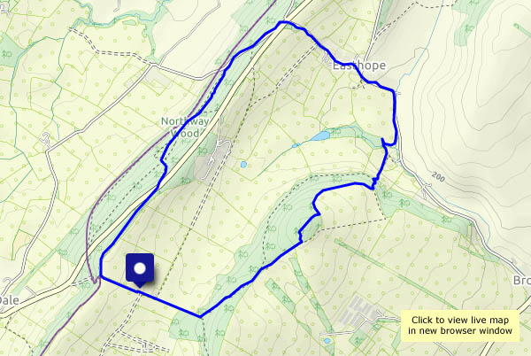
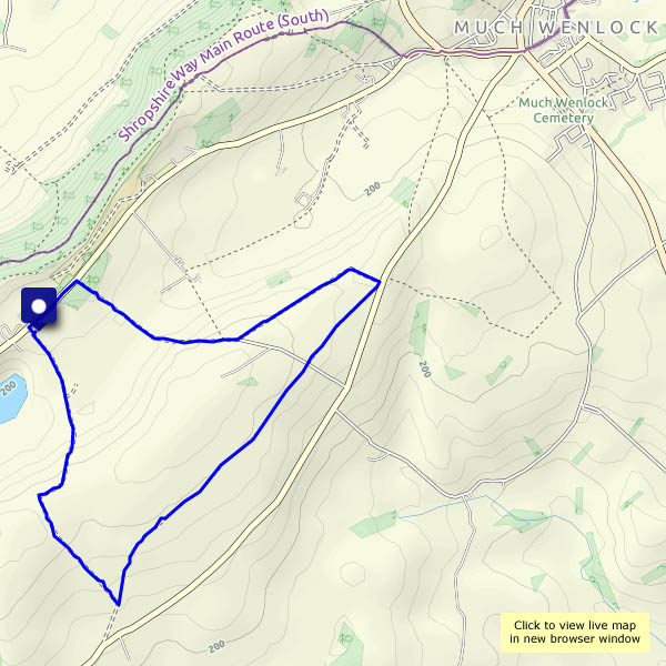
The beginning of March wasn’t exactly leonine, though the first couple of days were cold and grey. The last two days look like being warm (by late March standards), calm and sunny. This afternoon was certainly a good one for exploring the quiet uplands of Wenlock Edge, to the north-west of the Munslows. We didn’t meet anyone else on this five mile stroll, but there’s no shortage of sheep – and lambs, of course.

View OS map on Streetmap http://www.streetmap.co.uk/map?X=351210&Y=287785&A=Y&Z=120

To Bannister’s and Belswardyne

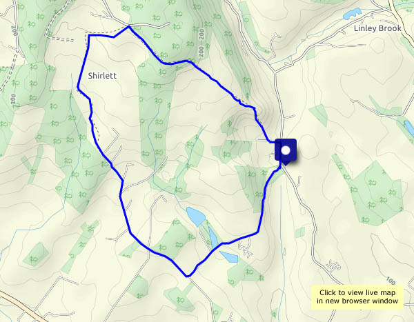
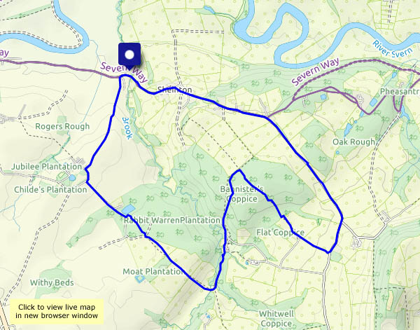
A (not very) circular route from Sheinton on a beautiful spring day, taking in Bannister’s Coppice, which is open and airy at this time of year, and the fields and woods around Belswardyne Hall. We thought we might see deer, but not today, though their footprints are in abundance. Heading back from Belswardyne, there are very young lambs in the fields and a fine view to the Wrekin.

View OS map on Streetmap http://www.streetmap.co.uk/map?X=361265&Y=303105&A=Y&Z=120

The Albynes

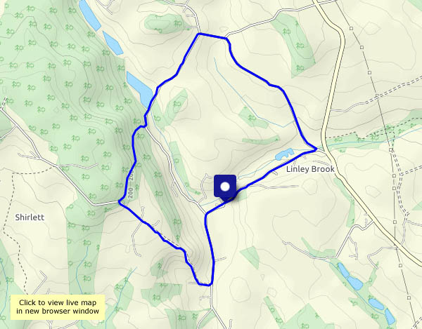
A walk from Willey, on a fine, sunny and altogether pleasant afternoon. We follow Bould Lane to its foot, then cross the road and continue beside Linley Brook. Beyond the cottage, it’s a muddy jungle, then we’re up out of it and soon passing the Albynes, with fields full of sheep and lambs. Re-crossing the road takes us on over Nordley Common and back down to the Smithies, for our usual way back past Lower Pool.

View OS map on Streetmap http://www.streetmap.co.uk/map?X=368265&Y=298140&A=Y&Z=120