It’s one of those places where, despite frequent visits, there are always interesting ways to discover and explore.
View OS map on Streetmap http://www.streetmap.co.uk/map?X=371377&Y=292614&A=Y&Z=115
It’s one of those places where, despite frequent visits, there are always interesting ways to discover and explore.
View OS map on Streetmap http://www.streetmap.co.uk/map?X=371377&Y=292614&A=Y&Z=115
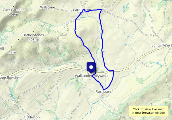
Yesterday’s rain has cleared the air, and it’s much colder – we’ll need to keep moving. It’s a route we first followed just over a year ago – from Wall-under-Heywood to Rushbury, then up Gilberries Lane to Cardington, returning past Stoneacton. It’s a fairly steady ascent to the highest point at the Sharpstones – then an easy mile-and-a-bit back to the start. Very pleasant, quiet country!
View OS map on Streetmap http://www.streetmap.co.uk/map.srf?X=351100&Y=293620&A=Y&Z=120
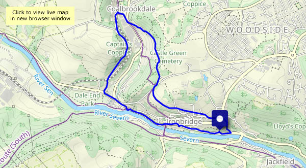
A wet morning, and probably a wet afternoon – but likely to be dry around lunchtime. We’ll walk from Bedlam, over to Coalbrookdale and back down to Ironbridge and the riverside.
View OS map on Streetmap http://www.streetmap.co.uk/map?X=367180&Y=303880&A=Y&Z=120
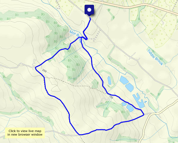
A familiar route with a different start, on Telegraph Lane and down through The Lye (a farm and a couple of houses). It’s a steep ascent to Meadowley, then a level walk on a farm track along an airy ridge. Lastly (after a chocolate stop) we return to The Lye through the seclusion of Underton.
View OS map on Streetmap http://www.streetmap.co.uk/map?X=367760&Y=292335&A=Y&Z=120
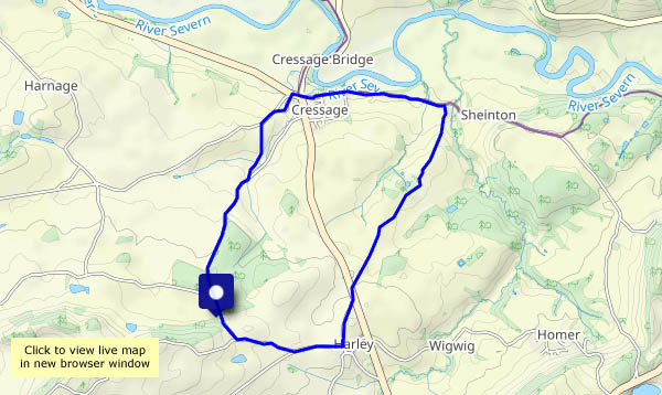
We start where we usually begin our Harnage and Kenley walk, but today we’re heading down the lane and path towards Cressage. There, we’ll follow the Sheinton road, before heading up through the farm at Belswardyne and across the fields to Harley. Soon we’re back at the start. Other than the crossing (twice!) of the busy main road, it’s very quiet along these lanes, tracks and paths – just one other walker, out with two small dogs.
View OS map on Streetmap http://www.streetmap.co.uk/map?X=359380&Y=302775&A=Y&Z=120
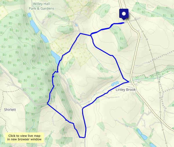
There’s nothing there, apart from a derelict farmhouse and a decrepit barn. The morning gradually improves as we wander on – the threat of a shower is an empty one (though there’s evidence of recent rain), and the sun’s shining brightly as we cross the ridge and descend towards the old railway track.
View OS map on Streetmap http://www.streetmap.co.uk/map.srf?X=361430&Y=298891&A=Y&Z=120
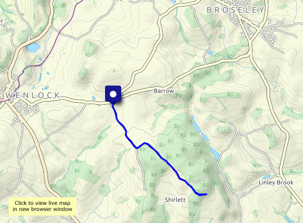
Cloudy today, the forecast says, with perhaps some light rain in the afternoon. At 10am, the sun’s shining – let’s get out there. Shirlett Lane, Ned’s Lane, Round Hill – familiar ground, but subtly different every time. Perhaps we’ll see the belties?
View OS map on Streetmap http://www.streetmap.co.uk/map.srf?X=366240&Y=297950&A=Y&Z=120
Just a short one! Over the fields to the Wyke lane, through the trees along Benthall Edge, and back, for a change, across the rear of Benthall Hall. A hare started just yards from where we stood in the field, and (as they do) went hurtling away, swerving to avoid the sheep. Photo? Not a hope; in any case we were too busy just watching.
View OS map on Streetmap http://www.streetmap.co.uk/map?X=365585&Y=302600&A=Y&Z=120
It’s a fine, bright and sunny day, and there are others about when we start out from Cleehill. As a result (though there’s no-one else in sight there) the dereliction at Magpie Hill isn’t creepy. Apparently. We approach via Hoar Edge, where the rocks make a good picnic bench, then visit the three-forked pole before following the old wagonway past Lower Random. Never below 1100 feet above sea level, this is an airy walk with extensive views in all directions -perfect for a day like today.
View OS map on Streetmap http://www.streetmap.co.uk/map?X=360135&Y=276660&A=Y&Z=120