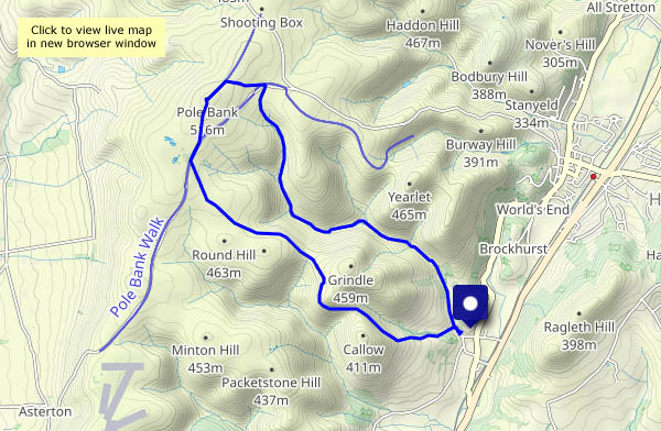
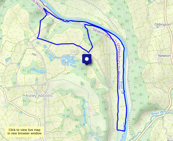
A walk from, but not in, the Carding Mill Valley. Once parked, I’m away back out of the valley, taking the path to Cwm Dale to reach the Batch Valley. At its head, the latter splits – into Long Batch, and Jonathan’s Hollow which takes me up to the Long Mynd plateau. I’ll stop for lunch at the froggy pond near the junction with the direct path from the Carding Mill. Pond? It’s a mere puddle! We’ve had a little rain in the last week or so – what was it like in August? I hope the frogs are OK!
Lunch over, I’ll continue to the top, Pole Bank, where there are just two people, one oblivious to everything but his smartphone, his companion engaged in a loud phone call: “I’m on a hill…” I won’t stay (I was here just last week after all) – I’ll head for the heather-clad ridge leading to the top of Town Brook Valley, then follow its narrow path down towards Church Stretton – and there’s a car in Carding Mill Valley…

View OS map on Streetmap http://www.streetmap.co.uk/map?X=343790&Y=295235&A=Y&Z=120