A mild and breezy afternoon in Comer Woods. As well as the usual sights, there’s a brief glimpse of a muntjac down by the pools. I’m struggling to get a decent view, and the light’s gone – then it’s gone too!


")


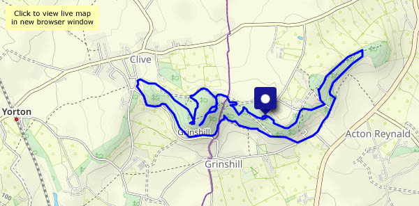
View OS map on Streetmap http://www.streetmap.co.uk/map?X=374785&Y=289560&A=Y&Z=120


")