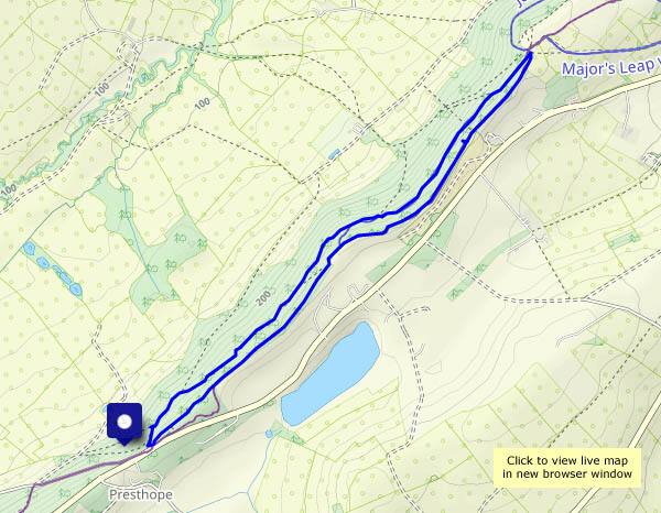
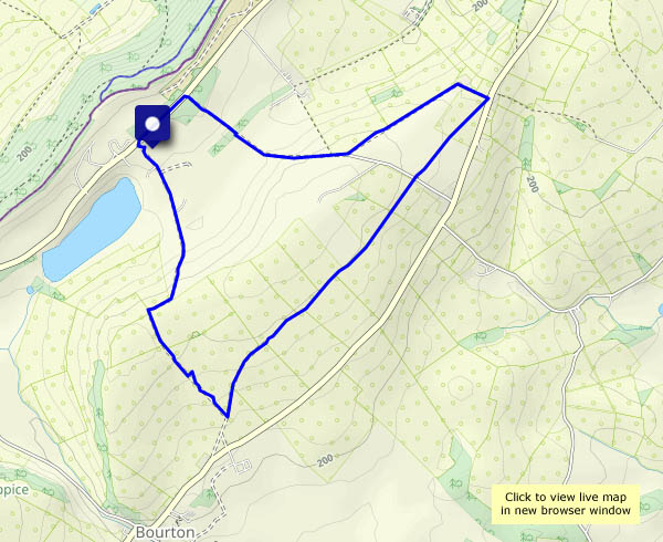
No sunshine, and maybe a few spots of rain later. It’s a mild, grey, breezy afternoon, and it’s pleasant out along the lane, down to the old railway track and back up the dingle. Some of the things we find are worth a closer look…


")


")

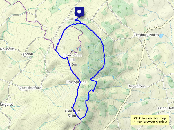
View OS map on Streetmap http://www.streetmap.co.uk/map?X=369330&Y=301400&A=Y&Z=120


 straight")


")