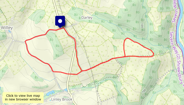
Thursday 12 September A quick leg-stretch – from Bedlam, up the hill and over to Coalbrookdale, then back beside the Severn
View OS map on Streetmap http://www.streetmap.co.uk/map?X=367350&Y=303885&A=Y&Z=120
Thursday 12 September A quick leg-stretch – from Bedlam, up the hill and over to Coalbrookdale, then back beside the Severn
View OS map on Streetmap http://www.streetmap.co.uk/map?X=367350&Y=303885&A=Y&Z=120
There are lots more photos to come from our recent northern trip, but firstly, it’s good to be back to the everyday normality (if that’s what it is) of life in Shropshire. What better than a wander around the Willey lanes, to see how the season has moved on. In the fields, they’re lifting the spuds. Along the hedges and verges, there are crab apples, glorious (but inedible) red berries and the last of the blackberries (the devil’s in them now). All the damsons have gone – someone’s been busy while we were away

View OS map in Streetmap http://www.streetmap.co.uk/map.srf?X=367470&Y=298250&A=Y&Z=120
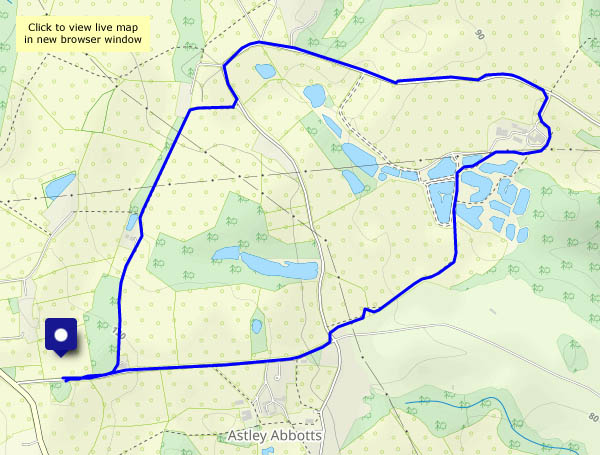
From today, until next March, the nights are longer than the days – the darker half of the year begins. Nevertheless, it’s a bright, sunny afternoon, perfect for a wander around fields and lanes between Astley Abbotts and Colemore Green
View OS map on Streetmap http://www.streetmap.co.uk/map?X=370945&Y=296885&A=Y&Z=120
…because the weather forecast suggested there could be heavy rain in the afternoon. There wasn’t. Good to get a leg stretch before lunch!

View OS map in Streetmap http://www.streetmap.co.uk/map.srf?X=367470&Y=298250&A=Y&Z=120
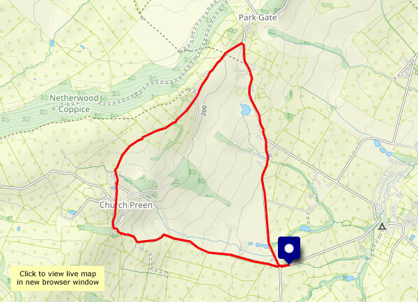
After a short spell of rain around lunchtime, the sky is clearing. We’re heading for Church Preen for a wander around the lanes. The air is clearer too – there’s a good view to the Welsh hills on the horizon.
View OS map on Streetmap http://www.streetmap.co.uk/map?X=354910&Y=298575&A=Y&Z=120
From Harley to Belswardyne and back… It’s another grey day, and there’s rain coming up from the south, but we’re ahead of it (it’s raining now!). A pleasant wander in quiet country below the Wenlock Edge.
View OS map on Streetmap http://www.streetmap.co.uk/map?X=360675&Y=302290&A=Y&Z=120
We leave the car and take the path across the field, cutting off the corner and avoiding the road. The corn has been harvested; just the stubble remains, and with it an eerie feeling that, with the crop, everything else has gone. The air is still, it’s very quiet – is anybody there? We continue via Harnage Grange, then, further along the lane, we take the path across the fields towards Kenley. There’s a secret world here, not visible from any of the roads nearby, and if it was quiet earlier, it’s even quieter now. Not even the sheep have anything to say.
View OS map on Streetmap http://www.streetmap.co.uk/map?X=357220&Y=301550&A=Y&Z=120
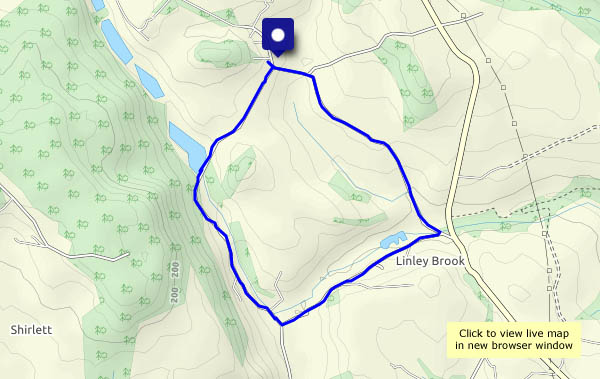
The weather, that is – not as warm as the past few days, but humid. The views are hazy and limited, but it’s pleasant enough on Nordley Common. The old way from Linley Brook to Stocking Lane is a delight, lined with trees and bushes (damsons galore!), and the inevitable brambles and sloes…
View OS map on Streetmap http://www.streetmap.co.uk/map?X=368065&Y=297340&A=Y&Z=120
It’s going to be warm again this afternoon – we’ll have a wander around Willey in the cool air of morning. It should be pleasant in the shade on Round Hill, and even more so as we descend slowly under the trees of Shirlett forest and head back to the start.
View OS map on Streetmap http://www.streetmap.co.uk/map?X=367505&Y=298000&A=Y&Z=120
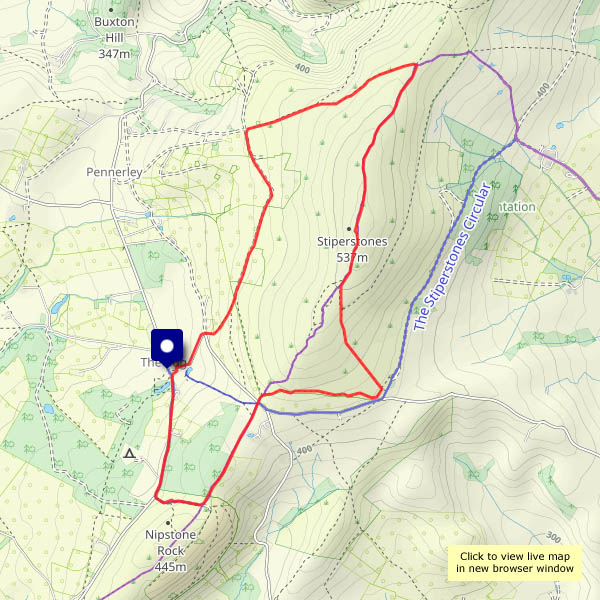
Too warm to hurry (as if there’s any need…). We’ll walk gently up the rocky ridge, where there’s a shady corner for lunch. It’s getting really warm by the time we’ve reached The Rock, towards the southern end of the ridge, so we’ll return to the start through shady woodlands. Sadly, the Bog Centre is closed on Mondays – we’ll have to go to the Bridges Inn to refresh ourselves… Beer is best on a day like this!
View OS map on Streetmap http://www.streetmap.co.uk/map?X=336370&Y=298120&A=Y&Z=120