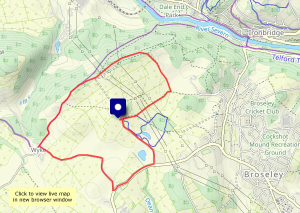
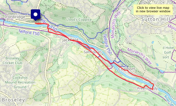
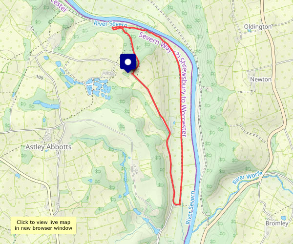
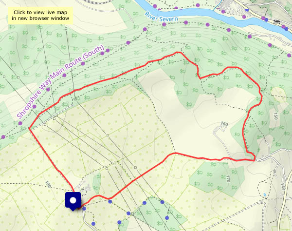
…of February. The first crocus flower appeared in the garden today, the first celandines are appearing here and there, and in the fields (some distance from the path I’m on) are the first lambs I’ve seen this year. 2024 is gathering pace! Just a little sunshine now and then, not a breath of wind – once again, it’s good to be out on a fine day.


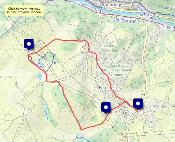
View OS map on Streetmap http://www.streetmap.co.uk/map?X=365610&Y=302500&A=Y&Z=120


 at Posenhall")


")