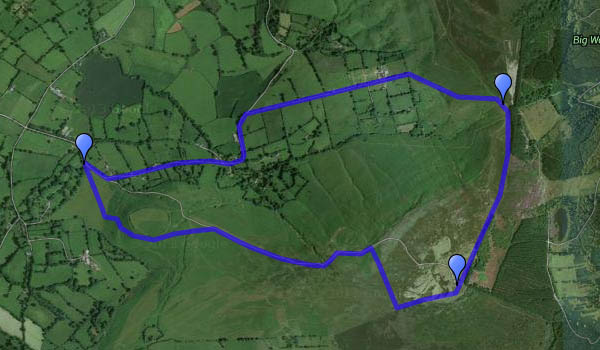
Clear Skies over Clee Burf

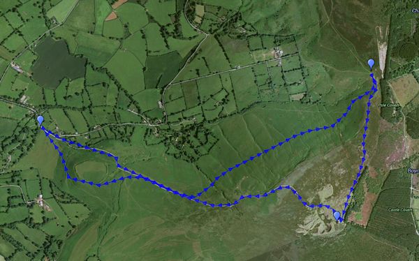
A cloudless (almost) blue sky – bright sunshine, no wind and frost on the ground. Domestic duties will have to wait – we’re off to Clee Hill again, walking up to the radio mast (not quite a scenic highlight) on Clee Burf. The light becomes warm as the air grows colder, and we’re back to the car just minutes before sunset. It’s great to be out on afternoons like this.

MapOr view OS map on Streetmap http://www.streetmap.co.uk/map.srf?X=358500&Y=284901&A=Y&Z=120&ax=358625&ay=284851

Another afternoon on the Mynd

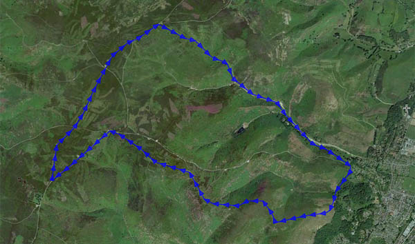
Monday: the weather’s too good to stay indoors (and it can’t last) – we’re wandering on the Long Mynd, making the most of what little light there is in late November. The steep hillside path takes us quickly up into the sunshine, and by the time we’re coming back down Mott’s Road, it’s almost gone. Instead of the heavy clouds that shaded us yesterday, there’s lots of wispy cirrus, much of it forming from jet trails. And instead of that biting wind, there’s just a gentle breeze. Perfect!

Map

Or view OS map on Streetmap http://www.streetmap.co.uk/map.srf?X=343240&Y=294746&A=Y&Z=120

To the Battlestones

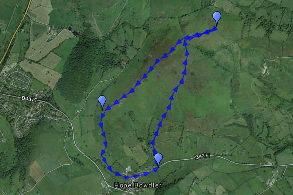
We did this walk, more or less, this time last year – more or less. Late November is good on the Hope Bowdler hills, or perhaps it’s the other way round. A stubborn bank of cloud limited the sunshine on the ridge, though there was plenty of sunlight in the distance, and the wind was biting, briefly carrying a light shower of rain (that wasn’t forecast!). We sheltered, more from the wind than the rain, behind the Gaerstone for a few minutes, before descending the last of the ridge as the sun dropped.

Map

Or view OS map on Streetmap http://www.streetmap.co.uk/map.srf?X=347350&Y=293596&A=Y&Z=120

Green Fields of Morville

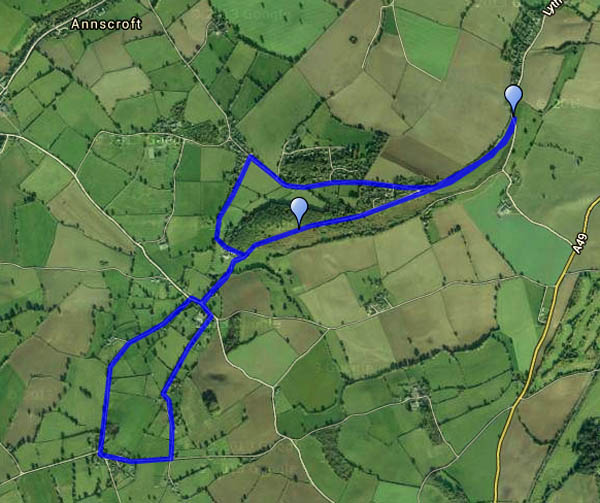
A walk from Morville to Hurst Farm pools – out along the quiet lane to Haughton, back down the (public footpath) drive from Aldenham Park. There had been some heavy rain overnight – field paths would be hard going, so we stuck to known good surfaces. The grey skies had cleared by lunchtime – the afternoon was fine, bright and sunny – and surprisingly warm.

Map

Or view OS map on Streetmap http://www.streetmap.co.uk/map.srf?X=367370&Y=295321&A=Y&Z=120

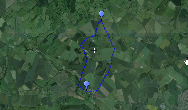
November on Clee Hill

One of those rare afternoons when the sun shines from an almost-cloudless blue sky. It’s cold, and there’s a chilly breeze on top, but it’s a great day to be out on the Shropshire hills.

I’d include a map of the route, but Google have introduced “new My Maps. Better tools for mapping”. ’nuff said.
9 Nov: I’ve been trying Scribblemaps – see below

Map

Or view OS map on Streetmap http://www.streetmap.co.uk/map.srf?X=358500&Y=284901&A=Y&Z=120&ax=358625&ay=284851


Grinshill

It’s no mountain – just 192 metres (630 ft) above sea level at the summit – but it’s a great viewpoint for the real hills of Shropshire and the borders. Not that it was particularly clear, nor did the sun manage to break through, but it was a pleasant afternoon to wander through deep carpets of fallen leaves, sweet chestnut husks etc. (the many squirrels have dealt with the nuts). The deeply-cut former quarries are worth a few minutes’ exploration.

At Clive we wandered around the village briefly before taking to the stone lane in its deep cutting beside the church and headed the highest point. As we walked back to the car, our eyes were caught by a bright flash of green (woodpecker), then the red of a pair of fly agarics. Peer over the wall – there are some deep dark holes…

A Stiperstones Stroll

There’s quite a breeze, and the clouds never quite clear  – a few rays of sunshine would improve the outing photographically, but otherwise, it’s a good day to be out on the Stiperstones. It’s a Sunday afternoon, so there are quite a few other people about, but there’s plenty of space up here. And though the clocks may have gone back, the Bog Centre is open (for a few more days only, before the winter shutdown) for tea and cake. What more could one ask?

The Bog Centre

On Haughmond Hill

A wet morning, but the forecast promised a fine afternoon – somewhere that won’t be too bad underfoot? Haughmond Hill is mostly forested, but the tracks are pleasant, good to walk on, and there are some extensive views. The hill isn’t high, barely topping 500′ (153m, according to the OS) – but there’s little to get in the way of the long view in a 180º panorama from south-east to north-west – the Stretton hills, Stiperstones, Long Mountain, the Breiddens and the Berwyns.

There’s a café back at the car park – we made it with just minutes to spare. The cakes were pretty good too, eaten beneath tall pines.

Here’s a map – haven’t attempted to show the route (can’t see it for all the trees). We followed the blue waymarkers, anticlockwise…

Westhope and Diddlebury Common

I’m reliably informed that it’s pronounced “Delbury” (as in the nearby Delbury Hall). This was a very pleasant four-mile wander around Westhope, the most south-westerly “hope” on the Wenlock Edge. The woodlands are increasingly autumnal; the paths through the fields are not always obvious or well-marked (potato fields are not easy to cross). Westhope itself is a quiet hamlet; its college offers craft courses, of which there’s evidence on the wall, and its teas would be splendid, I’m sure, if this was high summer and the rooms were open. The nearby pigs are entertaining…