Sunday 28 August: Another evening stroll along Dunbar’s clifftops – and another unexpectedly dramatic sunset over the Firth.


View OS map on Streetmap http://www.streetmap.co.uk/map?X=366875&Y=679230&A=Y&Z=120

Sunday 28 August: Another evening stroll along Dunbar’s clifftops – and another unexpectedly dramatic sunset over the Firth.
View OS map on Streetmap http://www.streetmap.co.uk/map?X=366875&Y=679230&A=Y&Z=120
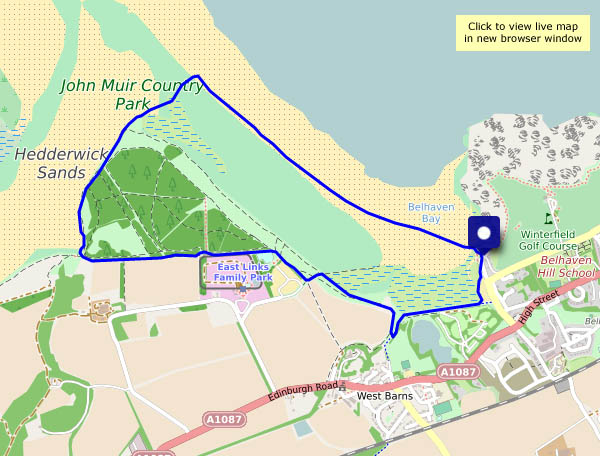
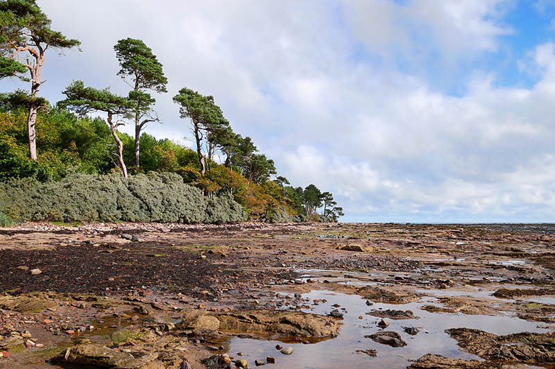
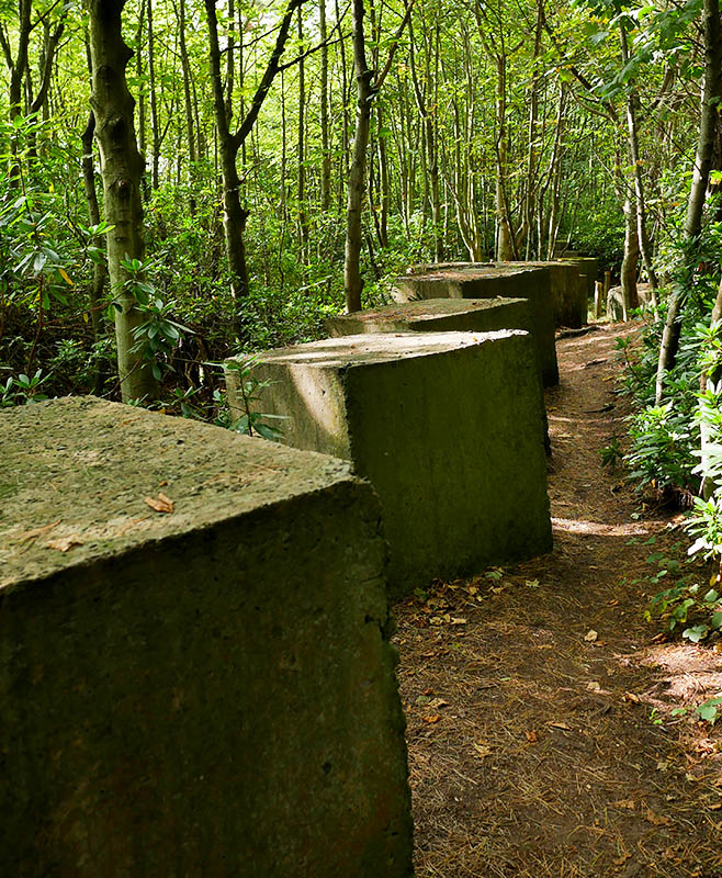
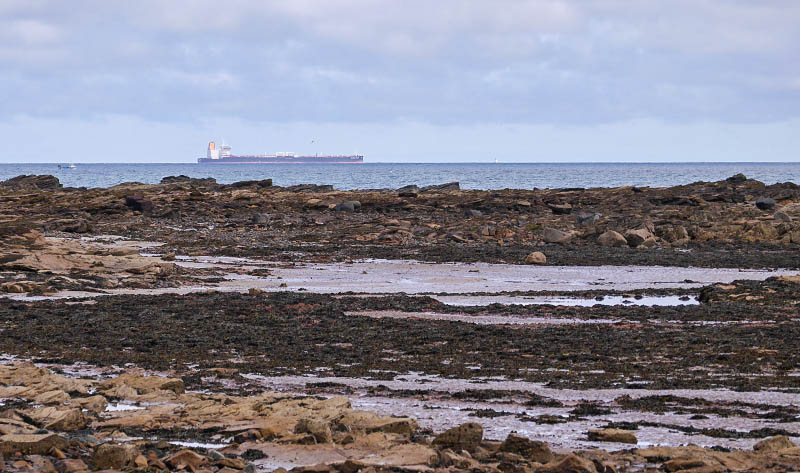
Friday 26 August: A shoreline walk to the west of Dunbar. The route I’ve shown on the map starts and ends at the “Bridge to Nowhere”, where there’s space for parking (I walked there…). It’s very nearly high tide and the bridge isn’t usable yet, the approach paths on either side are under water. Instead, I’ll follow the John Muir Way as far as the bridge over the Hedderwick Burn. I won’t cross it – I’ll walk along the shore around Hedderwick Hill plantation (which may need replanting after the devastation of last winter’s storm). Crossing the dunes brings me back to the beach, which is quiet at first, becoming more popular as I head back towards the bridge to nowhere. Happily, the tide has begun to ebb and I can cross without getting wet feet. I may need to hurry along a bit now – the sky’s looking rather threatening – are those the first drops of rain?
There are oystercatchers and curlews in the creeks and marshes, and on the beach are smaller birds (I think they’re sanderlings), skittering about trying to retrieve tasty morsels without getting wet. They’re never still for a moment, which makes getting a decent photo tricky…


")
View OS map on Streetmap http://www.streetmap.co.uk/map?X=365222&Y=679122&A=Y&Z=120
Thurs. 25 August: We’re spending a few days in Dunbar, on the north-east coast of Scotland, where the Firth of Forth has become the North Sea. By the time we’ve arrived and settled, there’s only enough daylight left for a quick walk along the clifftop paths. It doesn’t look as though the sun will shine – I won’t take a camera… Inevitably, the unexpected sunset was well worth a photo or two – I’ll use the phone.
")


View OS map on Streetmap http://www.streetmap.co.uk/map?X=367355&Y=679230&A=Y&Z=120
Saturday 5 June: a trip to the beach, this time near Yellow Craig, just to the west of North Berwick. There are several islands in this part of the Firth of Forth – the Bass Rock is probably best known; Craigleith lies closer to North Berwick and just offshore is Fidra.


View OS map on Streetmap http://www.streetmap.co.uk/map?X=351725&Y=686253&A=Y&Z=120
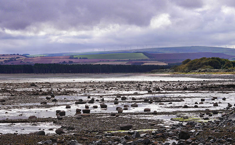
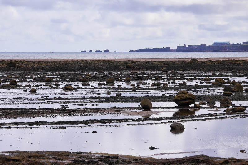
Friday 4 June: A coastal walk from Dunbar to Hedderwick Sands, at the mouth of Scotland’s river Tyne – and back along the beach of Belhaven Bay, with views to Dunbar ahead, and the Bass Rock behind.


View OS map on Streetmap http://www.streetmap.co.uk/map?X=365395&Y=678695&A=Y&Z=120
Saturday 19 September: Two weeks ago we were in Dunbar. Thursday and Friday were gloriously sunny; today’s a greyer, more subdued kind of day. We’re visiting – briefly – the coast just a little to the west, around Tyninghame, an area that will repay further further exploration on another occasion. Later, we’re back in Dunbar, for a last look before heading south again in the morning.


View OS map on Streetmap http://www.streetmap.co.uk/map.srf?X=363610&Y=680175&A=Y&Z=120
Friday 18 September: later that day – a walk to Belhaven’s “bridge to nowhere” and along the cliff path to Dunbar harbour


")


View OS map on Streetmap http://www.streetmap.co.uk/map.srf?X=367147&Y=679110&A=Y&Z=115
Friday 18 September: a short walk with the family in the John Muir Country Park, through the Hedderwick Hill plantation to the shore at Hedderwick sands. It’s all very pleasant on this fine sunny day.

")


View OS map on Streetmap http://www.streetmap.co.uk/map.srf?X=364534&Y=679067&A=Y&Z=115
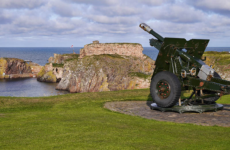
Thursday 17 September: I could do with a leg-stretch after the long drive, and I’m surplus to requirements for an hour or so – I’ll take a short walk down to the harbour, then along the coastal path for a little way. The light is warming as I wander – is that a Scottish Ayers Rock down there?

")


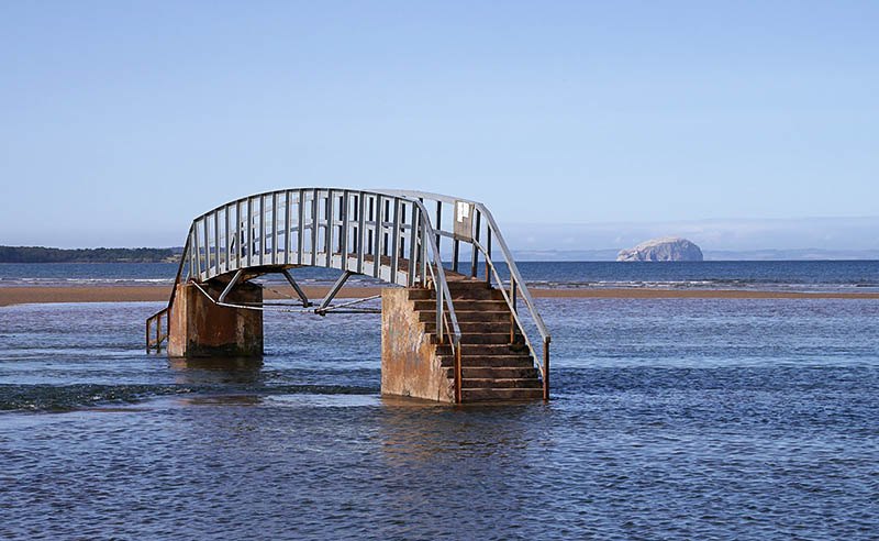 Landmarks local to Dunbar, where we’ve been for a few days: the bridge at Belhaven is useful when the tide is out… In the distance (about 6.5 miles / 10km) is the Bass Rock, home to an astonishing number of gannets.
We arrived home this afternoon, after a drive of over 300 miles, so that will have to do for now. More photos tomorrow.
