Yet another day that feels like early spring. The pussy willow beside the Severn thinks so too, adding a little splash of yellow to the scene
View OS map on Streetmap http://www.streetmap.co.uk/map?X=372065&Y=296465&A=Y&Z=120
Yet another day that feels like early spring. The pussy willow beside the Severn thinks so too, adding a little splash of yellow to the scene
View OS map on Streetmap http://www.streetmap.co.uk/map?X=372065&Y=296465&A=Y&Z=120
According to the Shropshire Star, we’ve had no ‘meaningful’ rainfall for a whole month. We’re not complaining – there are many places around here that become almost inaccessible during a ‘fill dyke’ February – but I have that feeling that we’re going to pay for it later… Yes, once again it’s a fine and sunny afternoon, and we’re out wandering from Benthall Hall, down to Workhouse Coppice, along Benthall Edge and back via Wyke and Posenhall. Spring is just over a week away – it’s in the air today.
View OS map on Streetmap http://www.streetmap.co.uk/map?X=365895&Y=302620&A=Y&Z=120
We haven’t been out this way for a little while – down the old waggonway from Wenlock to Seven Springs, then into Bannister’s Coppice and back up through Homer to Wenlock. It’s very quiet in this wooded country below the Wenlock Edge, and very pleasant in the intermittent sunshine. Perhaps we’ll see some deer? Perhaps not! – though there are plenty of fresh footprints. The alpacas at Sheinwood mill will have to do instead.
View OS map on Streetmap http://www.streetmap.co.uk/map?X=362215&Y=302100&A=Y&Z=120
No sunshine, and maybe a few spots of rain later. It’s a mild, grey, breezy afternoon, and it’s pleasant out along the lane, down to the old railway track and back up the dingle. Some of the things we find are worth a closer look…
View OS map on Streetmap http://www.streetmap.co.uk/map?X=369330&Y=301400&A=Y&Z=120
It’s (moderately) famous in these parts – the snowdrop walk at Cound (it’s always a very pleasant walk; the snowdrops are a bonus). We’ve promised ourselves we’ll do it for years, but it’s always been too wet, or it’s a weekend and it will be very busy, or we’ve only remembered when the short season is over. Today it was neither wet nor busy – we were walking (slowly, and stopping for photographs) for about two hours, and didn’t see anyone else. We had the snowdrops all to ourselves – and what a lot of them there are. Quite uncountable, there must be millions! The gentle valley of the Coundmoor Brook seems to be full of them! Famous? Understandably!
View OS map on Streetmap http://www.streetmap.co.uk/map?X=355765&Y=304205&A=Y&Z=120
A circumambulation (i.e. we walked around a bit) on a day when the fog cleared, but the mist stayed. The sheep are basking in the very pleasant (again!) sunshine, and it’s certainly atmospheric up here on Brown Clee, though it would have been good to see just a little further – at times, we could barely make out the ridge of the Wenlock Edge.
View OS map on Streetmap http://www.streetmap.co.uk/map?X=359285&Y=286330&A=Y&Z=120
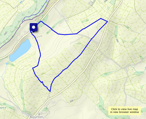
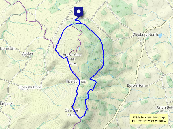
We start at Stretton Westwood, and head up a rough farm lane to Bourton Westwood Farm. Now we head south-west, passing Westwood Farm at Bourton Westwood to the southernmost point of this wander, a few hundred yards from Bourton… Heading back towards the start, we recross the ridge and descend past Westwood House. Hence the title.
Westwood notwithstanding, it’s a truly beautiful afternoon. No wind to speak of, a clear blue sky, cool air (I’m keeping my gloves on!) and warm sunshine. It’s rather hazy, making for atmospheric views from the Wenlock Edge. Tomorrow’s going to be fine and sunny too…
View OS map on Streetmap http://www.streetmap.co.uk/map?X=360325&Y=297755&A=Y&Z=120
Shrewsbury’s riverside, heading upstream (after a walk through the town itself) along a stretch that, though close to civilisation, feels much more rural. We return, after threading suburban streets, past the school and the boathouses, with views across the river to towers of St Chad’s and the market hall. A pleasant, interesting and varied wander.
View OS map on Streetmap http://www.streetmap.co.uk/map?X=348455&Y=312770&A=Y&Z=120
An enjoyable circular, making the most of the current dry conditions – the route passes through fields which can be rather soggy at this time of year. The land between Shirlett and Hannigan’s Farm feels particularly remote – no sign or sound of habitation. I don’t think it gets many visitors (and I’m not complaining!).
View OS map on Streetmap http://www.streetmap.co.uk/map?X=366520&Y=296945&A=Y&Z=120
It’s too good to stay indoors, and one of us is out eating cakes this afternoon, so we’d better have a morning wander. A short stroll around Colemore Green and through (between!) the fishing pools should be pleasant. Just the faintest wisps of cloud, cool still air – perfect!
View OS map on Streetmap http://www.streetmap.co.uk/map?X=370950&Y=296805&A=Y&Z=120