Sunny intervals? Huh! Drizzle (at first) and cloud, more like… Not to worry, it’s still very pleasant wandering around these quiet, if rather muddy lanes.


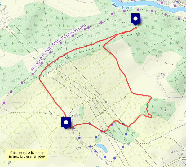
View OS map on Streetmap http://www.streetmap.co.uk/map?X=356815&Y=301390&A=Y&Z=120


")