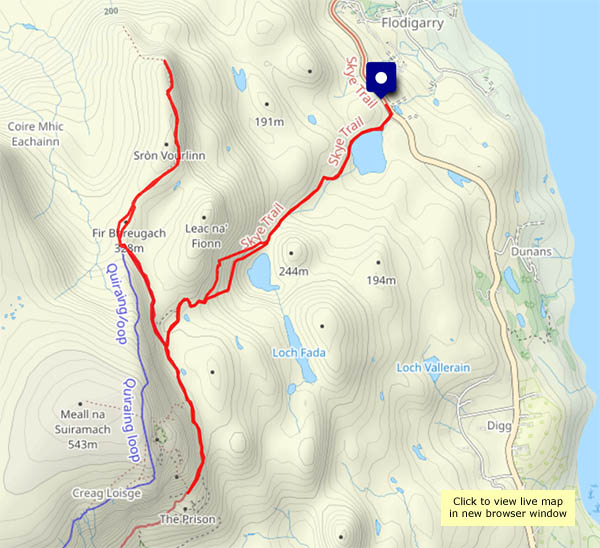
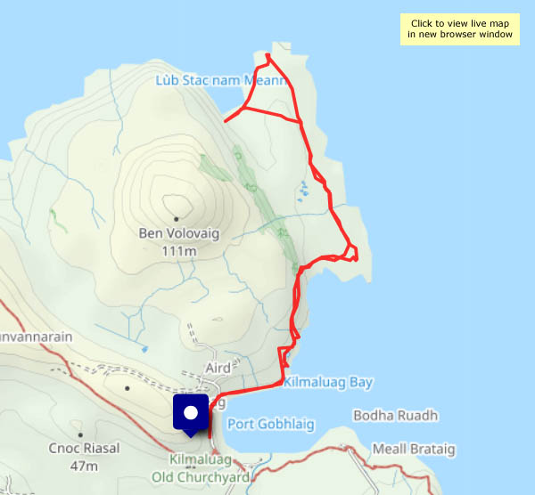
Another favourite route in this part of Skye. It will be busier than the other walks I’ve enjoyed during this spell of wonderful weather, but the scenery is spectacular. It’s fairly quiet at first, up past Lochs Langaig and Hasco, but there are plenty of others on and around the pinnacles beside my route to Sròn Vourlinn. There’s no-one else at that splendid peak though. The silence is wonderful.
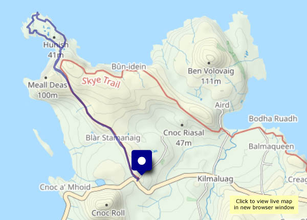
Retracing my steps, I decide to continue in the other direction to the Quiraing. I won’t scramble up into the rocky stronghold – the path there is a good vantage point for photos.
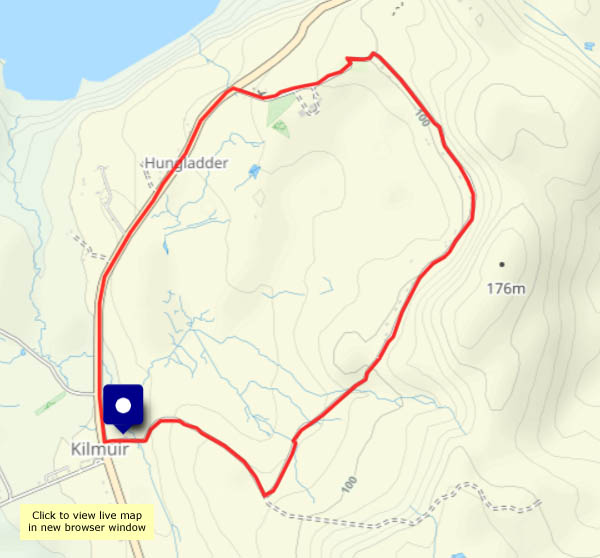
Finally, descending once more past the two lochs, what’s this? A highland wedding!


View OS map on Streetmap http://www.streetmap.co.uk/map?X=145598&Y=870111&A=Y&Z=120

")


...")


")
")


")


")


 ...")

")
")