On the Mynd again

Another near-perfect afternoon on the Long Mynd – clear skies, warm sunshine and a cool breeze. We walked from Cardingmill Valley, up past the Lightspout waterfall to the Portway, then along to the highest point at Pole Bank. Our return was along the ridge to the head of Townbrook Valley, which we followed down to the reservoir, then back to Cardingmill.


Around Batch Valley*

A pleasant walk for a pleasant afternoon – clear air and a bit of sunshine. It’s a steep pull up to the golf course (but where were the golfers? “Perhaps it’s close season?”). Once above the valley, the views are extensive to the north, less so but perhaps more attractive to the east.

*Batch Valley is (of course?)  tautological… In these parts, a “batch” (would be a “beach” a little further west) is a valley. But we’re not complaining – it’s a lovely spot, whatever it’s called.

Highley, Borle Brook and the Severn

This should have been a pleasant Sunday afternoon stroll – and along two sides of the triangular route, it was just that. But beside Borle Brook? Oh dear! There is a public footpath along the old colliery railway on the west side of the stream (as far as the B4555) – but I don’t think anyone walks it – not regularly enough to maintain a route through the jungle (note to self – bring machete and flame-thrower next time). We could have taken the path on the opposite bank, I suppose.

The short stretch beside the B4555 is somewhat hazardous too – it’s a busy road. Perhaps the path which leaves it after half-a-mile, again following the brook, will be better? It was – slightly. The first “field” is another jungle, and the path through the woods, which should be very pleasant, is sticky and slippery. At least the popular path beside the Severn, to Highley station, is walkable.

There would have been a photo or two of Highley station, but ice-cream seemed more important. A train arrived and departed while we sat and ate – a photo would have risked dropping the ice-cream… Lastly, to get back to the car, I’d intended to walk up the trackbed of the former railway to Highley colliery – but missed it somehow and ended up walking the road.

The map is included for information, not recommendation… Perhaps in winter, after a long dry spell? Perhaps not.
Exploring The Braes

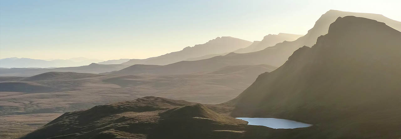
The Braes is a district south of Portree, Skye – the road threads scattered settlement before coming to a dead end at Peinchorran. We’ve visited An Àird, the winged peninsula facing the island of Raasay, many times. The exploration above Ollach was a new one – a very pleasant waymarked route up through the heather to some fine cascading falls, which might have been even more attractive had there been some significant rain recently…

Coille Iosal:


An Àird


See http://www.walkhighlands.co.uk/skye/braes.shtml and
http://www.walkhighlands.co.uk/skye/anaird.shtml for more information

Oans

Perhaps it’s known as “Oans Point”, but the maps label the little rocky headland, below the fractured cliffs of Score Horan, as “Oans”. Whatever its name, the point marks a clear-cut objective for this short walk from Gillen, on Skye’s Waternish peninsula. The flora between Gillen and the forestry road down to the shore level is varied and beautiful at this time of year. The fauna? Gulls, gannets and a substantial flock of oystercatchers. There’s quite a tangle of rocks and pools at the point – a great spot to explore or just sit for a while.