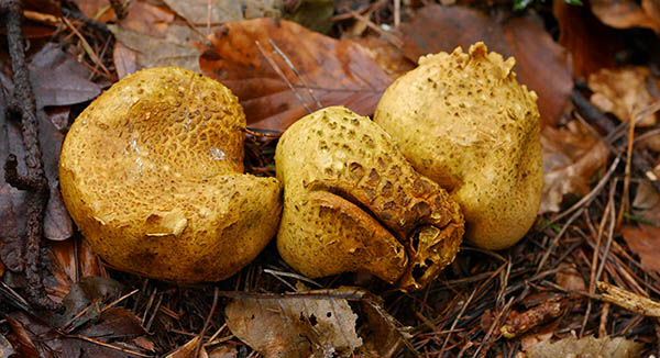
A little sunlight is all that’s needed, to illuminate the various views from Shirlett. We can see the Wrekin, Wenlock Edge and Brown Clee, though the haze means we won’t see much beyond them. There are portents of a spring still some way off – daffodils are coming up, and new leaves on honeysuckle bear raindrops which catch the eye and capture the landscape in miniature.


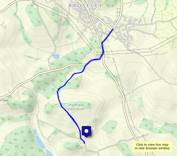
View OS map on Streetmap http://www.streetmap.co.uk/map.srf?X=365660&Y=298545&A=Y&Z=120


")