
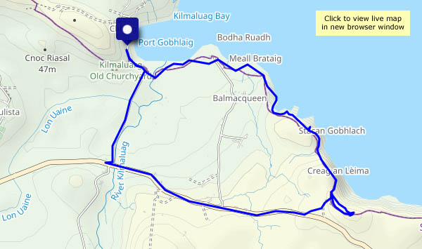
Friday 21 October: A short but interesting walk beside, and above, the sea. There’s a path, though it’s not always very distinct, from the road corner near Kilmaluag old churchyard to the ruins of the WW2 radar station. It’s not on the tourist trail, so it’s quiet – I didn’t meet anyone else. The views are extensive – from the eastern shores of Lewis to the north-west Highlands. The path continues some way towards Flodigarry, but I’ll save that for another day, and head back along the road.


View OS map on Streetmap http://www.streetmap.co.uk/map?X=144164&Y=874443&A=Y&Z=120
