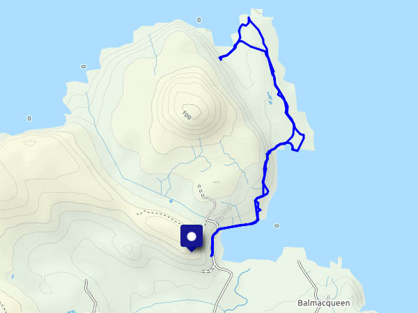
Sunday 19 August: At last, some decent weather. The clouds have cleared, no rain is forecast, the wind’s dropped. We’ve had a reminder in the past few days that Skye is full in August. There are huge numbers of visitors, who struggle with the single-track roads in the north of the island – especially those in hire cars, and as for all those monster camper vans… There are some very popular destinations up here, but if we avoid them, we should be OK. So we’re walking from Port Gobhlaig, along the very quiet coastal path to Rubha na h-Aiseig, and our companions will be the sheep and the seabirds. If the tip of this grassy promontory was a few yards further north, it would be the northernmost tip of Skye – and probably more popular. But wait – what’s this? As we walk back towards the start, there are two other people! How dare they? (Why are their voices so loud?)
Tomorrow we’re heading for home. Reminder to self: avoid high summer in future.
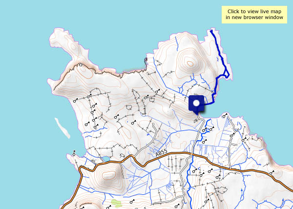
View OS map on Streetmap http://www.streetmap.co.uk/map.srf?X=143999&Y=875904&A=Y&Z=120


")


