Skye in January

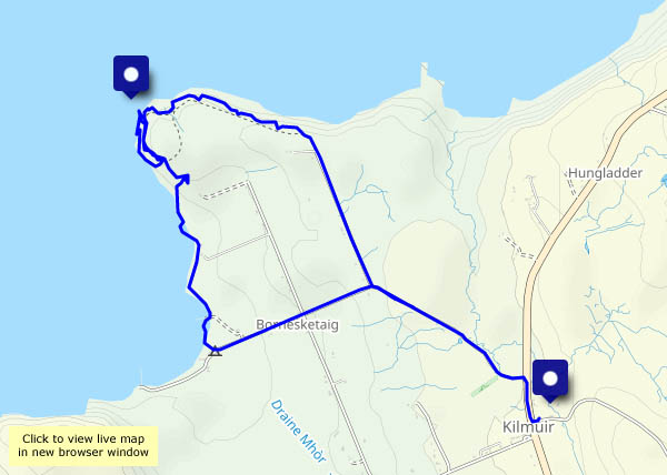
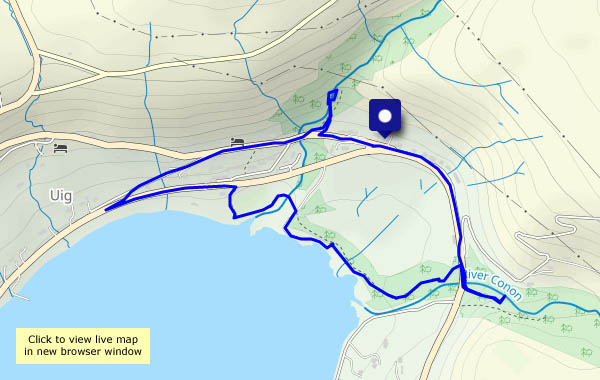
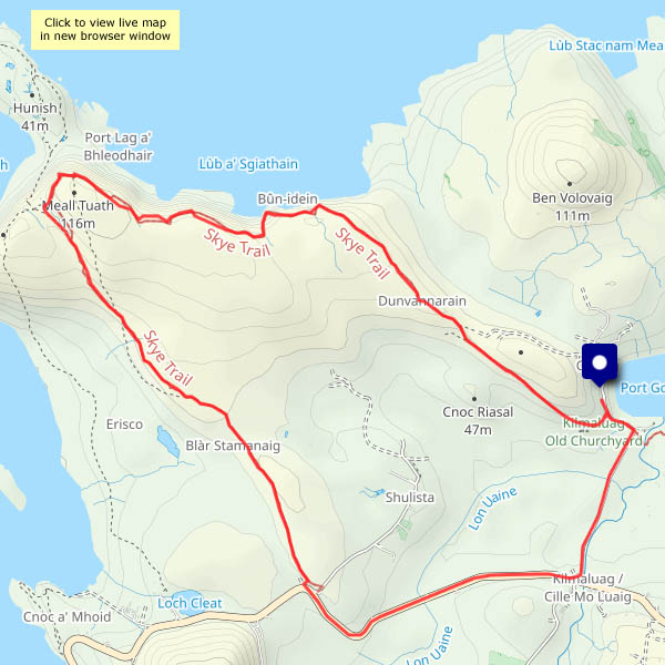
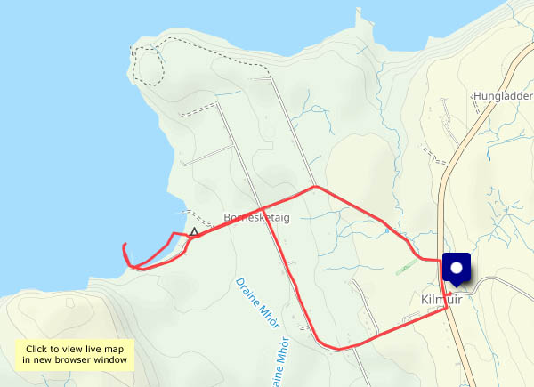
It can be horrendous, with howling gales and lashing rain; however, last week while I was there the weather was kind to me. It was the calmest period I can remember on the island, with lots of sunshine and three days of clear blue skies. Admittedly, the hours of sunshine are very short up there at present. It was very cold, with some hard frosts – a bonus, as the mud I’d expected was hard-frozen!

I left Skye last Saturday, by rail from Kyle of Lochalsh, and travelled down to Dunbar, where I stayed a couple of nights before heading for home yesterday (bringing with me hundreds of photos to work through). I’ll post a selection over the next week or so; in the meantime, here’s a taster – one from each day…

Walking in reverse – the Skye Trail

Skye, 4 October It starts at the (possibly well-known) phone box at the Shulista road end, and heads for the cliffs of Meall Tuath, high above Rubha Hunish – Skye’s northernmost point. It then swings south-eastwards, skirting the rim of spectacular cliffs before cutting across a grassy ridge to arrive at the old Balmaqueen churchyard (and continue  down through Trotternish and the Cuillins to Broadford, some 128km in total). I’m starting at Balmaqueen, walking the first three or four miles of the trail in reverse to arrive at the phone box. To complete this circular walk I’ll walk back along the road – not a part of the trail, but it’s no great hardship.

I only realised this path had been created when I studied the OpenStreetMap (see below). We’re setting out on the long journey home in the morning: almost literally, along the clifftops, I’m going out on a high!

View OS map on Streetmap http://www.streetmap.co.uk/map?X=142359&Y=875513&A=Y&Z=120

Farewell to the fairies

Skye, 28 September A friend, intent on visiting Skye, sent me a list of 20 places to visit on the island (found on a website somewhere, I guess). What did I think? I suggested, cruelly but realistically, that if he avoided those places he might enjoy his visit. (We have ‘honeypots’ in Shropshire too. They help to keep all the other attractive places quiet…)
This afternoon the wind was still howling north of Uig, but it remained dry. Somewhere sheltered would be good for a walk (avoid clifftops etc…) – perhaps I would take a walk from Uig, up to the Fairy Glen (one of the 20 mentioned earlier). Geographically, it’s a magical place, but as the years have gone by, it’s become busier and busier. At the end of September, might it not be too bad? All I can say is, it must truly be a nightmare during the main holiday season. I really can’t imagine any of the fairies would want to stay there a minute longer – they’ve gone, I’m sure. As I dodged the seemingly endless procession of cars, camper vans and minibuses, I thought to myself that this might be my farewell to the Fairy Glen too – unless we find ourselves up here in the darkest months of winter. It might then retain a glimmer of its former magic.

View OS map on Streetmap http://www.streetmap.co.uk/map?X=140810&Y=863137&A=Y&Z=120

Temperate rainforest

Skye, 27 September Uig wood: it’s tiny by the standards of such things, but it’s a different world in there. The woodland is very damp and mossy, and the lichen in the trees is wonderful! Huge (a couple of inches across) flakes of tree lungwort adorn the tree trunks; elsewhere are more delicate (and more familiar) filament-type lichens (I’ve no idea what they’re called). This is temperate rainforest, apparently.

Before visiting the wood, we take a walk up to Idrigill, to look down on the works at the pier, and the views across Uig bay. A great little outing for a grey (and later, wet and windy) day!

View OS map on Streetmap http://www.streetmap.co.uk/map?X=139030&Y=863827&A=Y&Z=115

Uamh Oir – the gold cave

Skye: Thursday 6 April (continued): Our last day – and it’s a beautiful Skye day – bright, breezy, blue sea and sky. I’m going for gold – walking from Kilmuir village hall to the Gold Cave, via the Bornesketaig cliff tops. The gold’s all gone, of course. There’s a full moon – the tide is as low as it gets, and at such times the cave can be entered – but I’m on my own (and there’s no-one else about), so the risk of a fall on those slippery rocks is worth avoiding (I’ve been in it before, some years ago). I’ll return along the shore to the Camus More campsite, then back up the reed-lined road. There will be times on the long drive home that I’ll think of this afternoon.

View OS map on Streetmap http://www.streetmap.co.uk/map?X=137951&Y=871125&A=Y&Z=120