
The sign at Kilmaluag points to Aird, which is where I’ll start. The path – now a part of the Skye Trail – leads across rough grassland, past the cemetery (Cladh), through the old settlement at Dunvannarain and on to the west coast clifftops, with great views to the north and west – from the little island of Trodday, the Shiants and the long island of Lewis and Harris to Skye’s northernmost tip at Rubha Hunish. I won’t be going out there today – instead, the seat just below the bothy (a former coastguard station) provides a wonderful view of the sea and the islands. It would also have been an excellent spot to nibble a piece of tablet – but I’d left it behind… Only slightly flawed perfection!


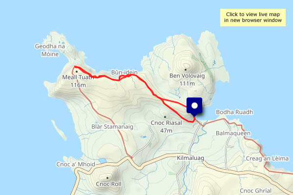
View OS map on Streetmap http://www.streetmap.co.uk/map?X=142459&Y=875853&A=Y&Z=120
