
Tuesday 13 February: it didn’t really need filling – I’ve walked along this spectacular stretch of coastline several times. Last October, I walked the northernmost part of the Skye Trail (in reverse) between its start at the Shulista road end and Port Gobhlaig. Last month I walked the stretch between the old radar station at Balmaqueen and Flodigarry. Today I’m filling the gap.
Don’t be misled by the photos. Yes, beautiful blue sky and white fluffy clouds; one or two showers about, though not where I am. But there’s a cold, strong and buffeting westerly wind, trying to hurl me off the clifftops. I’m keeping well back from the edge today…


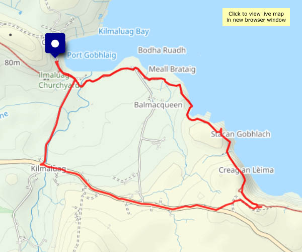
View OS map on Streetmap http://www.streetmap.co.uk/map?X=144334&Y=874324&A=Y&Z=120
