
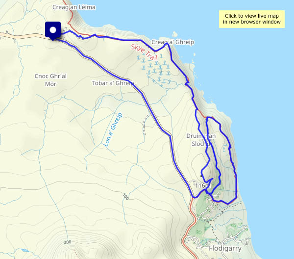
Tuesday 9 January: a walk along part of the Skye Trail, with an unintended double back… I started down the road to Flodigarry, from where I followed the trail. The route was pretty clear on OpenStreetMap, but it’s not shown on the OS map… There was a way up a cleft in the low line of crags, but I thought I’d seen a better way up. I hadn’t – I ended up back at Flodigarry, where happily I found an easy scramble up onto the hilltop and eventually regained the route. Another fine, still, blue-sky frosty day – mud would have made things difficult, but it was mostly frozen hard. The views to Lewis and to the north-west Highlands are wonderful!
")


")


View OS map on Streetmap http://www.streetmap.co.uk/map?X=145720&Y=872765&A=Y&Z=120
